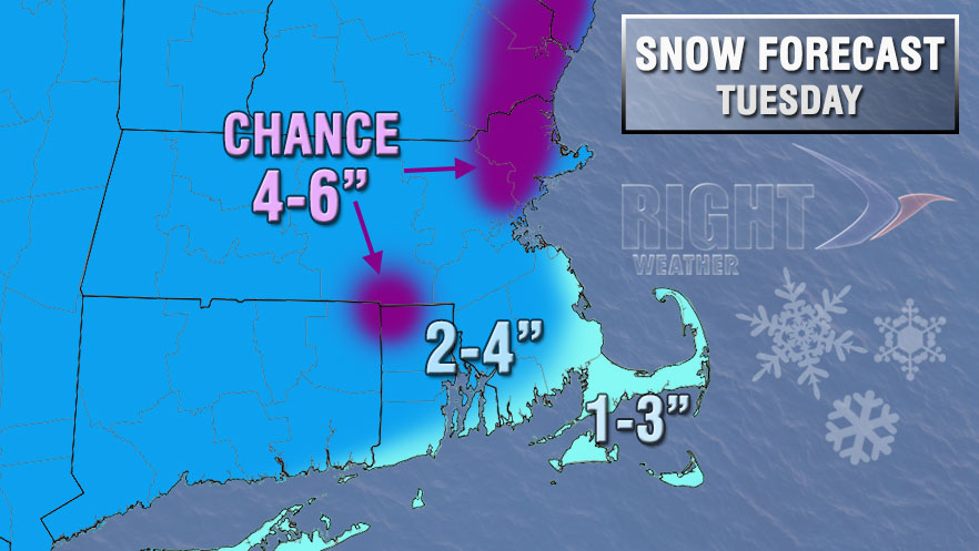
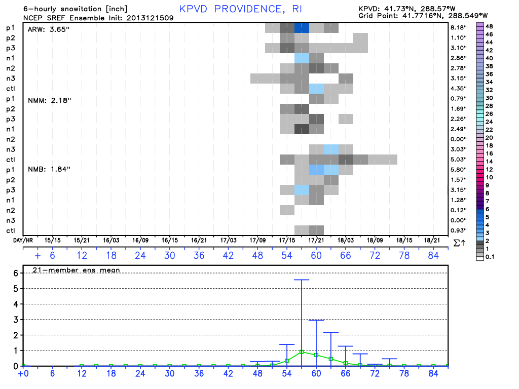
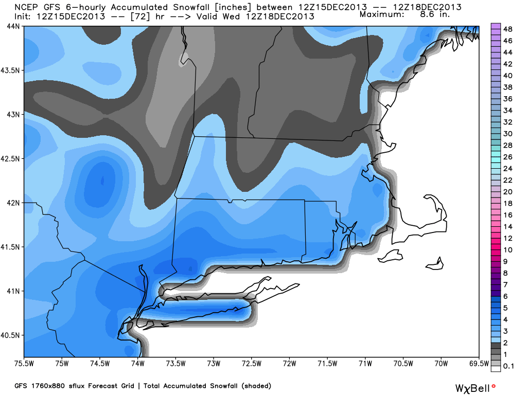
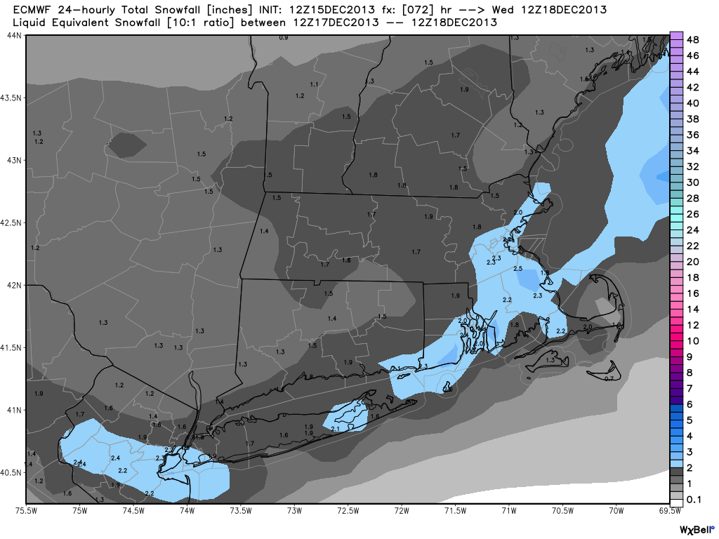
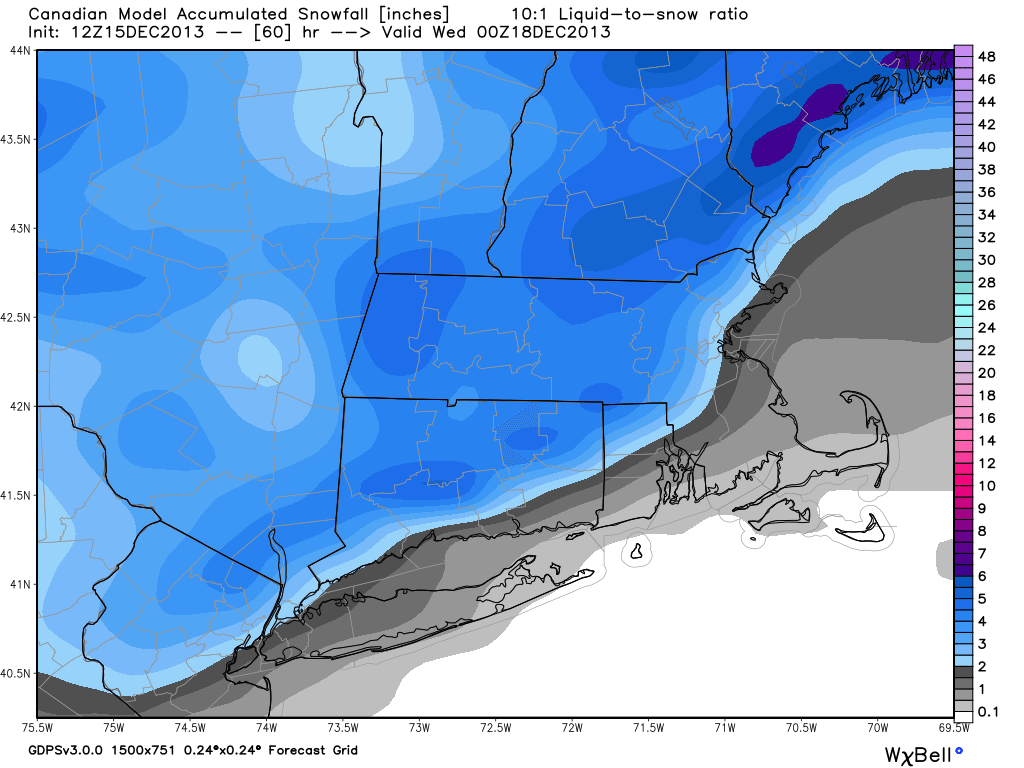
The Tuesday storm does not look like a major event, but it could be a nuisance for travelers if it develops far enough south to lock in cold air allowing for the snow to stick to the roads. Once again, there will be a very cold start to the storm. The temperature will be in the single digits to low teens early Tuesday. Snow will develop with snow in the teens, and, depending on the wind direction, the temperature may rise into the upper 20s to low 30s during the afternoon. The snow will come as a storm quickly develops near Cape Cod. It’s a dynamic situation, and there could be a burst of snow that leads to a quick accumulation. We’ll keep you updated on this one, which may be downplayed by some in the media. It has the potential to be a sneaky headache. Here is our first accumulation map along with some computer model output. Our map is based on a storm that develops close to the coast. If it develops farther south, move all the totals farther south, with the heavier snow near the coast.