The weather looks relatively quiet to ring in the New Year in the Northeast, but just a day later it will be very active as a storm develops in the Atlantic Ocean and brings snow and strong winds to Southern New England. The temperature will fall into the teens by early Tuesday morning as cold air filters in on a light northerly breeze.

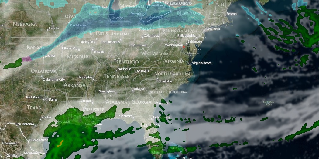
Tuesday looks partly cloudy with the chance of passing snow showers or flurries in the evening. There may be a quick dusting for the areas that get snow showers, but no significant accumulation is expected. It will be in the mid to upper 20s in the afternoon before falling into the upper teens to low 20s by midnight. There will be a breeze that makes it feel about 10° colder in the afternoon and night.
New Year’s Day will be bright, but chilly. Look for mostly sunny skies with the temperature ranging from near 20° in the morning to the upper 20s in the afternoon. The ocean temperature is in the mid to upper 30s for anyone taking the plunge.

Major storm possible Thursday-Friday
A snow storm is in the forecast for Southern New England Thursday through Friday. The storm has the potential to bring more than 6″ of snow to all of Southern New England, along with strong winds, frigid temperatures, and coastal flooding.
Snow will develop early Thursday, and it will continue, with varying intensity, through Thursday night into Friday. Cold air over New England ensures a dry/fluffy snow based on the storm’s projected track. It will also be wind-blown, with the potential for limited visibility throughout the event. Some accumulation is likely by sunset Thursday, with several more inches possible Thursday night into Friday.
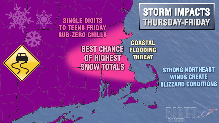
The peak winds are likely on Friday as the storm intensifies east of New England. At the same time, frigid weather will be moving in from Eastern Canada. The temperature may fall into the single digits on Friday, and possibly below zero by Saturday morning.
A consistently strong northeast wind will batter eastern facing shorelines with rough surf and coastal flooding at high tide from late Thursday through Friday. Peak wind gusts over 50 mph are possible in Eastern Massachusetts.


