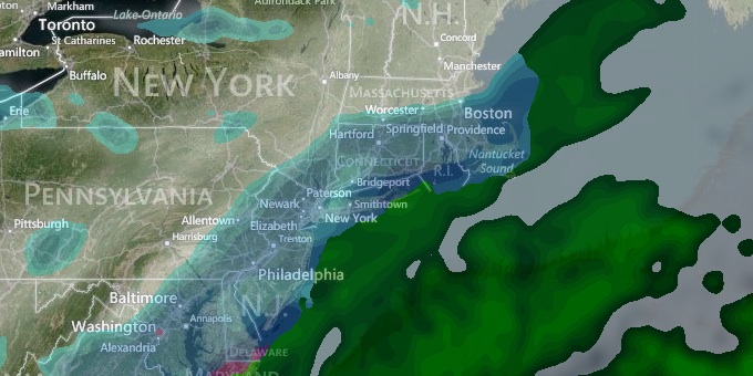
The week got off to a damp and raw start in Southern New England. A wintry mix before dawn changed to chilly rain then drizzle during the day. The temperature reached the 40s near the coast, and was already settling back into the 30s in the evening. Eventually, the temperature will fall to 28-32° in most spots late at night, and that will be enough for some patchy black ice in the morning.
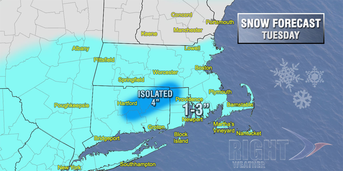
A quick-hitting storm system will deliver light to moderate snow to Southern New England on Tuesday. The snow will likely begin between 9 am – 11 am from south to north, and it will taper to flurries between 4 pm – 6 pm. Steady snow is possible for a few hours around midday. It will not be a big storm, but some accumulation is expected. The final totals will likely be between 1-3″, with the outside chance of 4″ in part of CT and W RI if a heavy snow band develops.
The weather that follows the fast-moving system will be very cold. Skies will clear Tuesday night and the temperature will drop into the teens to low 20s by dawn Wednesday. The mid to late workweek looks like some of the coldest weather in Southern New England since the heart of last winter – shortly after the February blizzard. Wednesday will be partly sunny brisk and chilly, with highs in the low to mid 30s. Highs will most likely not reach 30° on Thursday and Friday. Lows will be in the teens. It will be partly sunny during the day, and wind chills will be in the single digits.
We’re already looking ahead to another potential storm this weekend. A storm will move from the Southeast to the Northeast on Saturday, and snow, sleet and rain are possible in Southern New England late Saturday into early Sunday. The track of the storm is unclear at this point. It’s impossible to know if the storm will bring more rain or snow, but based on the current track, the best chance of heavy snow is in Northern New England, with snow changing to a mix or rain in most of Southern New England.


