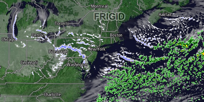
The bitter cold weather in the wake of the snowstorm will continue on Thursday. The low temperature in the morning will be near zero, and it will “warm” to around 20° in the afternoon under partly to mostly sunny skies. A 10 mph west breeze will make it feel more like 10°.
Thursday night will also be mainly clear and frigid, with lows in the single digits. Friday looks even colder, with highs in the mid to upper teens – even with a decent dose of sunshine. It will not be as cold Friday night as clouds increase and the temperature either holds in the teens or rises into the 20s as the wind backs to the southwest.

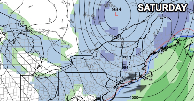
An approaching Arctic cold front will trigger snow squalls and flurries on Saturday. The wind will be active out of the west-southwest at 15-25 mph. The snow squalls could put down a quick coating to 2″ of snow. The temperature will climb into the upper 20s inland, and low to mid 30s near the coast. A flash freeze is possible Saturday night as the temperature plummets into the teens by dawn Sunday.
Sunday will be partly to mostly cloudy and very cold, with highs in the teens to low 20s. A disturbance passing over Southern New England could trigger snow or rain showers Sunday night into Monday. Once again, the wind will swing around to the southwest allowing slightly milder to arrive for a short stay. The weather behind the disturbance looks very cold. Highs in the middle of next week may be stuck in the teens again.


