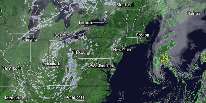
Passing rain and snow showers are possible late Thursday night as a disturbance slowly moves through Southern New England. There should not be widespread black ice in the morning, but a few slick spots are possible – especially away from the coast. Lows will be in the low to mid 30s. It will become partly cloudy on Friday, with highs in the low to mid 40s.

A fast-developing storm may bring scattered rain/snow showers on Saturday. Right now, it looks like a better chance of rain than snow in Southeastern New England. Highs will be in the mid to upper 30s. Colder weather begins to descend into the Northeast on Sunday. It will be mostly cloudy with the chance of passing snow flurries on Sunday. Highs will be in the low to mid 30s.
The weather pattern will be getting colder and potentially unsettled in the last 10 days of January. Get more details in the Long Range Forecast for Right Weather Pro subscribers. Early next week will most likely be quiet, and a storm will take a run at Southern New England in the midweek. At this point, we are leaning toward the storm scooting out to sea without much of an impact – other than to bring very cold weather out of Canada into New England. Highs will be in the 30s Monday, and most likely in the 20s Tuesday. It may not make it out of the teens on Wednesday.


