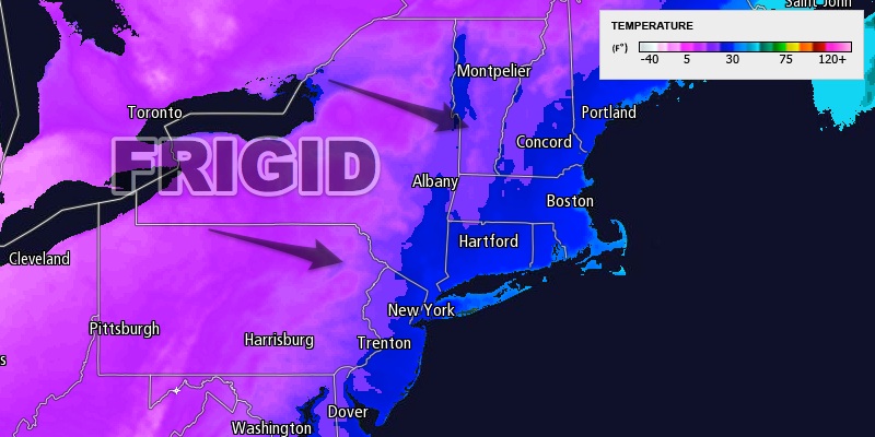
The temperature will drop very quickly Monday evening as a cold front plows through Southern New England. It reached 60° in a few spots Monday as rain showers moved through and wiped out most of the snowpack from last week’s big storm. The showers may end as snow between 5pm-7pm Monday as the cold front crosses. The temperature will fall below freezing from west to east between 6-9pm in Southeastern New England. The temperature will continue to drop through the 20s into the teens by dawn Tuesday.

The rapidly falling temperatures will quickly freeze any standing water or slush on the roadways and sidewalks. Watch out for slick spots Monday night and Tuesday. The wind chill will be below zero early Tuesday morning, and the high will be in the teens Tuesday afternoon.


