The week will start with mild and unsettled weather before another Arctic blast arrives for the midweek. Rain showers are likely Sunday night and Monday as the temperature slowly climbs through the 40s. Patchy fog is possible as the mild air moves over the snow pack in Southern New England. It will stay mild with the chance of rain showers through midday Monday. The shower threat continues through the afternoon into the early evening as it turns colder.
Showers will end early in the evening, and the temperature will quickly fall below freezing. There should not be enough rain, nor will it be warm enough, to melt all the snow, and a flash freeze is possible Monday night as colder air charges in on a gusty westerly wind. The temperature will drop all the way to the teens by early Tuesday morning.
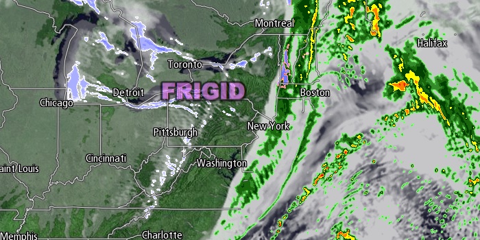
There will be no warm-up Tuesday afternoon. Highs will be in the teens, and wind chills will be at or below zero. The westerly wind will gust to 30 mph. It will be partly cloudy with the chance of passing flurries. The cold blast lasts through Tuesday night into Wednesday. Lows will be in the single digits to low teens Wednesday morning. Wednesday afternoon looks partly cloudy with highs in the mid 20s.
The weather does not look quite as cold late in the workweek and into next weekend. Thursday will start with temperatures in the teens to low 20s, and highs should reach the low to mid 30s. It will become mostly cloudy. A few snow or rain showers are possible Friday into Saturday. It does not look like a very strong system. Highs will be in the 30s, and lows will be in the 20s.
Cover photo by 02809photo.com


