After a very cold start to the month, the recent extended January thaw has the temperature running about 1° above normal for the month. It looks like the pendulum will swing back in the other direction for the last ten days of January. The week will begin with a seasonably cold day on Monday. Highs will be in the mid to upper 30s as a cold front approaches from the west. Clouds will increase, and scattered snow showers or flurries are possible as the Arctic front passes late in the day.

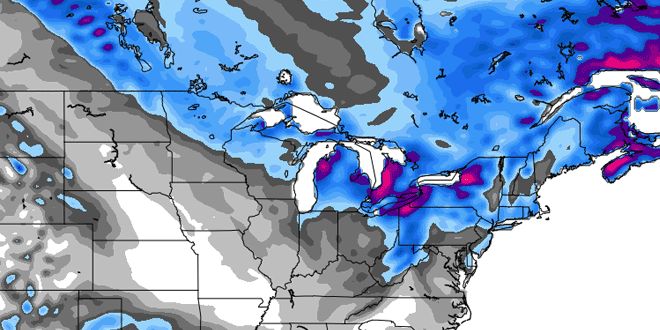
Tuesday looks very cold with highs in the teens to low 20s. Clouds will increase, and snow may develop, especially near the coast, late in the day. Accumulating snow is possible Tuesday evening as a storm passes south of Southern New England. Right now, it looks like the best chance of 2-4″ of snow is near the coast and in SE MA. The temperature will drop into the single digits to low teens by Wednesday morning.
Any snow should be out of the picture by early Wednesday, and more dry, cold weather is in the forecast for Wednesday afternoon. Highs will struggle to reach 20 degrees. It will stay cold through the end of the workweek. Another snow event is possible late in the workweek or early next weekend. Highs will be in the teens to low 20s on Thursday and Friday.


