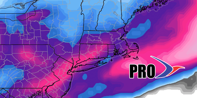
The much-advertised return to cold weather is nearly upon us. It looks like the boom or bust snow pattern will start with a boom Tuesday night as a storm swings through the trough in the Eastern United States and clips Southern New England with several inches of snow and gusty wind. Oh yeah, for the second time this winter it will be in the single digits and low teens while snowing in the I-95 corridor. That does not happen very often, never mind twice in a month!
The storm will be followed by an Arctic shot in the midweek. It looks mainly dry into the weekend before the mother lode of Arctic air (polar vortex again) descends from Canada into the Great Lakes on Saturday and spreads east into New England on Sunday. There will be a swath of snow with the Arctic front. It’s possible the weather in the middle of this week could be colder in Southern New England than what we get next week. It looks like the core of the cold weather is to our west next week.
This pattern could produce more snow early next week, and even though it does not look as cold into early February, there is still a decent chance that the pattern stays active. Check out the video for more.


