
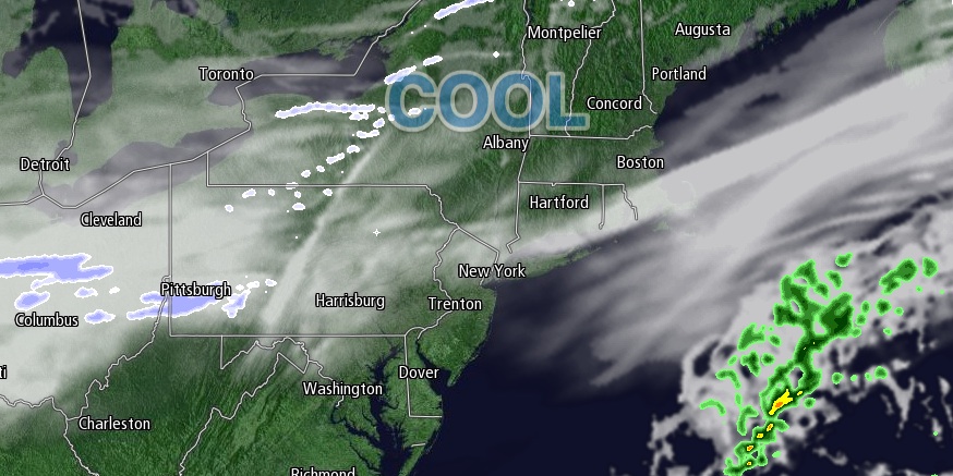
The workweek will end with quiet weather on Friday. It will be a milder than the past three days, with lows in the teens to low 20s, and highs near 40 – just about normal for the last day of January. It will not be terribly cold Friday night. Skies will be partly to mostly cloudy with lows in the 20s. Saturday looks like Friday, with a fair amount of clouds and highs near 40. Passing rain showers or snow flurries are possible Saturday morning, but widespread steady precipitation is not expected.
Saturday night will be damp and somewhat mild, with lows in the 30s. Patchy dense fog is possible. A cold front will move through Southern New England on Sunday afternoon. It will be relatively mild, with highs in the low to mid 40s. A passing rain shower is possible ahead of the front. Cooler, drier weather returns behind the front Sunday night into Monday.
Active pattern next week
We are watching for the potential for multiple storms in the Northeast. The first chance of snow comes on Monday as a storm system moves out of the Southeast into the Mid-Atlantic. Recent data suggests this storm could be a bit stronger and farther north than first projected. That brings it close enough to spread light snow into Southern New England. We’ll continue to watch this trend.
Tuesday looks dry and cold, with highs in the low to mid 30s. Another, stronger system is possible in the midweek. The track of that storm is likely to be close enough to Southern New England to bring a wintry mix of snow, sleet, and rain. Based on the current forecast, there is the potential for several inches of snow, especially inland, before a change to mixed precipitation or rain. Look for snow or a mix Tuesday night with a change to rain on Wednesday.
Looking further down the road, there may not be much of a break in the action. Another storm is possible sometime next weekend.
We now offer two options for anyone looking for more detailed and in-depth weather information. Right Weather Pro members enjoy many benefits including Long Range and Seasonal forecasts, Computer Model Trend updates, Live Blogs, and Custom Event and Vacation forecasts. It’s all available for just $39.99/year. If you’re interested in only the video updates and not the Live Blog, Computer Model Trends, or custom event/vacation forecasts, you can get our Videos on Demand. Watch one for just $0.99 or buy all the videos for the rest of 2014 (100+ videos) for $21.99.


