After a frigid start to 2014, the January thaw has been nearly as impressive. There has been a week straight of much warmer than normal weather that has pushed the average temperature for the month to warmer than normal in most of Southern New England. However, we need to remember that this is only the halfway point of “meteorological winter” which lasts from December through February. The pendulum is about to swing back in the other direction in a big way for the last ten days of January.
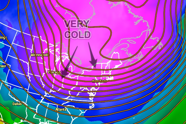
The transition to colder weather will begin this weekend with a weather system that brings rain showers to the coast and a burst of snow inland on Saturday. This storm system, known as an Alberta Clipper, will be the first in a long train of Clippers that will move out of Alberta, Canada and head for the East Coast over the next couple of weeks. Cold air will seep farther south with each passing Clipper, and, eventually, the polar vortex may make another visit to the Great Lakes and Northeast. It is safe to say the daily temperature will be running below normal for the last week of the month.

It is much harder to predict if there will be a lot of snow to go along with the cold weather. At some point, one (or more) of these Clippers should redevelop near the coast and bring a moderate, possibly heavy, snow event to Southern New England. We can’t say for sure when that will happen, but we’ll definitely be on the lookout for it starting next week. Remember, you can always get the latest forecast by downloading the free RightWX app for your iOS or Android device.


