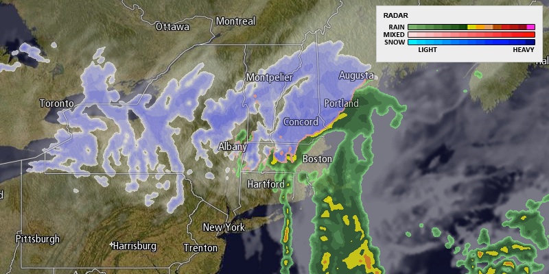
A quick-moving, vigorous disturbance will bring rain showers to Southeastern New England on Saturday. There is the chance of some snow in the highest elevations of NW RI and Worcester County, but accumulations are not expected with temperatures above freezing. The rest of RI and SE MA will see cold rain with temperatures in the upper 30s to low 40s. The steadiest precipitation will move through by midday.

It will become partly cloudy Saturday night. The temperature will fall into the mid to upper 20s by dawn Sunday. It will be mostly cloudy with the chance of passing flurries on Sunday. Highs will be in the mid 30s, but it will feel colder because of a 10-20 mph westerly breeze. A cold stretch of weather is likely next week, and it may continue through the end of January.
The start of the week will be dry and cold. Highs will be in the 30s on Monday with partly cloudy skies. A surge of colder weather will move in for the midweek. Highs will only be in the 20s on Tuesday and Wednesday. Lows will be in the teens. It looks dry both days. A storm may threaten Southern New England with snow late next workweek.


