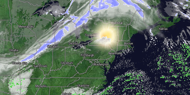
It will be an extremely cold start to the weekend in Southern New England. The temperature will fall below zero Friday night, and the wind chill will be -10 to -20. If the temperature falls to zero in Providence by midnight, it will be a record low for the date. The record low temperature on Saturday is -9, and it is unlikely that will be reached. It has not been colder than -2 since 2004, and the last time it was below -6 was in 1984. It will most likely be colder than -2, but may not fall below -6.
After the frigid start on Saturday, it will “warm” into the mid to upper 20s during the afternoon. Skies will be mostly sunny, with a 10-15 mph west-southwest breeze. Saturday night will not be nearly as cold, with lows in the 20s.
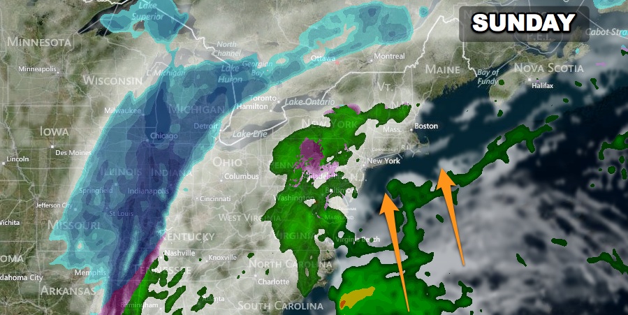
The next storm that hits Southern New England will bring mainly rain. A few light sleet/rain showers are possible on Sunday. Otherwise, it will be mostly cloudy with highs in the upper 30s to low 40s. Steadier rain is likely Sunday night into Monday. The temperature will climb into the upper 40s to low 50s on Monday as the wind picks up out of the south.
Rain may end as snow showers Monday afternoon, and frigid air will charge back into Southern New England for the midweek. Some icy spots are possible as the temperature tumbles from near 50 Monday morning to below freezing in about six hours late Monday. The temperature will fall all the way into the teens by Tuesday, and it will hover in the teens during the afternoon. Tuesday and Wednesday will be brisk and very cold with partly cloudy skies. A disturbance moving through late next week could bring light snow Thursday night into Friday.


