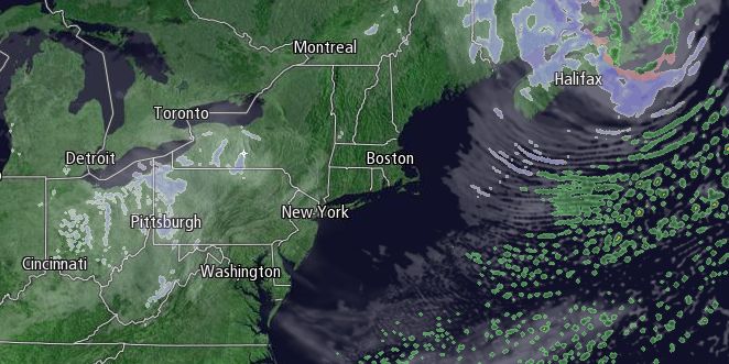
The fifth snow event of February will be out of the picture by dawn Sunday. The strengthening quick-hitting snowstorm will pummel the Canadian Maritimes on Sunday, leaving brisk chilly weather over Southern New England. It will be partly sunny and cold, with highs in the mid to upper 20s. A 15-30 mph wind will diminish in the afternoon, and it will be clear and very cold Sunday night. Lows will be below 10° in the countryside and 10-15° in the cities and near the coast with the fresh snowpack on the ground.

Presidents’ Day looks pretty quiet, with sunshine after the frigid start the temperature should get to near 30°, but not much higher, in the afternoon. The rapid-fire weather pattern features another snow threat on Tuesday. A disturbance moving through the Ohio Valley will pass through Southern New England during the day. It’s too early to say if the a storm will form south of Southern New England, but the potential exists for a minor accumulating snowfall if a storm develops off the coast. If not, there will be occasional rain/snow showers with no accumulation. Highs will be in the low 30s.
The weather looks fairly quiet Wednesday and Thursday. It will not be terribly cold, with highs in the upper 30s to low 40s. Rain showers are possible Friday as a cold front approaches. It may be the mildest day since February 2, with highs in the upper 40s to low 50s.


