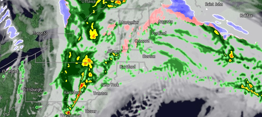
Wednesday marked the 16th straight day with a high temperature below 40 degrees in the Providence area. It is a streak that should end on Thursday. The first half of Wednesday was decent, but it went downhill quickly in the afternoon. Heavy, cold rain moved through in the mid to late afternoon leading to some big puddles on snow-banked streets. From the Massachusetts Turnpike north into Northern New England it was another burst of snow with a few inches of accumulation.
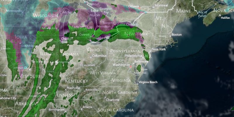
The main disturbance was racing out of the picture early in the evening, but lingering showers are possible before midnight. Skies will clear after midnight, and the temperature will drop below freezing inland, and it will be close to freezing in the cities and near the coast. Watch out for some icy spots on the roads in the morning.
Thursday will be the nicest day of the past few weeks, with some sunshine and highs in the low to mid 40s. Clouds will gradually increase in the afternoon, and another round of rain is likely Thursday night. The temperature will be in the mid to upper 30s on Thursday night.
Friday looks very mild, but also unsettled with occasional showers rolling through. Highs will be in the upper 40s to low 50s, with the chance of rain throughout the day. The weekend will most likely be dry and turn colder, with highs in the upper 40s to low 50s Saturday, and low 40s on Sunday. It will continue to get colder early next week, with highs in the 30s Monday and Tuesday. There is the chance of more snow in the middle of the week.


