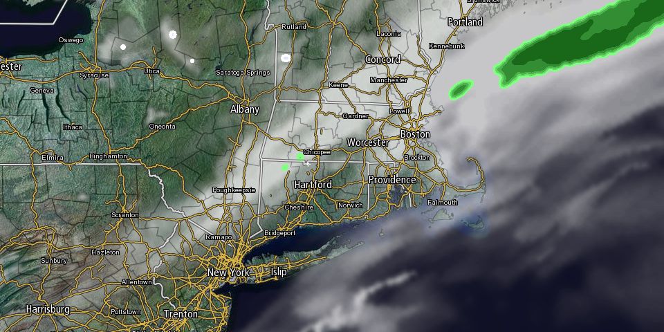
The weekend will end with mostly cloudy skies and relatively mild temperatures on Sunday. Highs will be near 50° around midday before it turns cooler late in the day. A weak storm may form along a cold front Sunday night bringing a period of rain and snow late at night. If it is all snow, there may be a coating to an inch by the Monday morning commute. Lows will be in the low 30s.

Next week looks very cold in the Northeast, with the temperature struggling to get to 30° for several days. Monday afternoon will be partly cloudy with highs in the mid 30s. It will stay quiet on Tuesday, with lows in the teens and highs in the upper 20s to low 30s.
A storm moving off the Mid-Atlantic coast will threaten Southern New England with accumulating snow on Wednesday. At this point, it’s a close call between a near-miss and a few inches of snow. Highs will be in the 20s on Wednesday. Cold and dry weather will stick around for the end of the workweek. Lows will be in the teens, and highs only in the 20s for the last two days of February.
Looking ahead to next weekend and early March in general, the cold weather pattern will persist in the Northeast. There should also me more snow threats in Southern New England. If you’re looking for a couple of positive signs that this tough winter will not last forever, Daylight Saving Time begins in two weeks, and the start of spring is less than a month away on March 20.


