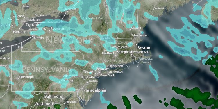
The high temperature on Monday will go in the books as 42°, but it will not be remembered that day. The high occurred before dawn, and most of the day was spent in the 30s, with a gusty west wind making it feel colder. The wind will relax to less than 10 mph overnight as the temperature falls into the mid teens to low 20s by dawn Tuesday.
Tuesday looks like Monday with afternoon temperatures a few degrees colder on partly cloudy skies and a 10-20 mph westerly wind. Highs will be in the upper 20s inland, and in the low 30s near the coast.
A weak storm system will pass through Southern New England on Wednesday. A disturbance along the United States and Canadian border will not connect with a disturbance off the Mid-Atlantic coast, and the result will be scattered snow showers or a period of light snow during the day. The best chance of seeing a couple of hours of light snow is near the coast, but even there we are not expecting more than a coating, and most likely not on the pavement. Highs will be in the upper 20s to low 30s.
Another disturbance will swing through on Thursday bringing the chance of flurries and a reinforcing shot of cold weather for the end of the workweek. Thursday’s highs will be near 30. Friday will be partly to mostly sunny and very chilly, with highs only in the 20s – a fitting end to meteorological winter which has been colder than normal in Southern New England. Lows will be in the teens to low 20s Thursday through the weekend.
There is the chance of mainly light snow or snow showers on Saturday. Once again it seems that a disturbance moving across the country will not strengthen considerably as it nears Southern New England. We will continue to watch the potential for snow on Saturday, but, right now, we are leaning toward a light or non-event. It will stay cold through the weekend. The temperature on Sunday may not make it out of the 20s – that’s about 15° colder than normal for early March.


