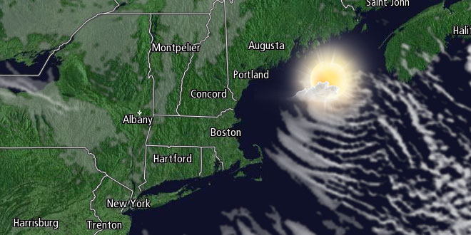
The snow shower and flurry threat ends in the mid to late Thursday evening in Southern New England as an Arctic cold front passes through. Frigid weather will follow the front for late Thursday night and Friday. The temperature will dip into the single digits with clearing skies and a fresh westerly breeze early Friday morning. Wind chills may be colder than -15° in part of interior Southern New England.

The temperature will not warm much on Friday. It should be a bright day with plenty of sunshine, but highs will only be in the low to mid 20s, and it will feel a few degrees colder because of a 10-15 mph westerly wind. The record low maximum temperature for the date in Providence is 19° set in 1980. It is highly unlikely that the record will be tied or broken.
Friday night looks mainly clear and cold, with lows in the single digits to low teens. Saturday will be a quiet day, with sun and clouds, and highs in the low to mid 30s – still about 10° below normal for the date. Another cold front will slide through on Sunday and set the stage for some snow early next week. Sunday looks partly cloudy with isolated to scattered snow showers and flurries. Highs will be in the mid to upper 30s.
Snow Likely Early Next Week
A storm moving from the Plains to the Mid-Atlantic will bring snow early next week. Right now, it looks like a moderate event for Southern New England. The exact track of the storm will decide if the heavier precipitation reaches Southern New England, and whether it will be all snow or a snow, mix, rain event. At this point, the odds favor all snow with a few to several inches possible between Sunday night and early Tuesday. The storm will likely not be a quick-hitter, with 24-36 hours of mostly steady precipitation possible. We will continue to keep you posted on this potentially significant winter weather event.

More cold (what else?) and quiet weather is in the forecast for early next week. Daytime temperatures will be in the 20s to mid 30s Tuesday through Thursday.


