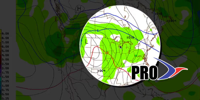
Long Range Forecast – February 10

We will cover the Thursday storm in detail in a separate update. It looks like it will come close enough for rain to be a factor near the coast. It is a very close call for the I-95 corridor, but there may not be enough cold air left for a snowstorm.
The weather looks fairly quiet on Valentine’s Day. An Alberta Clipper will head into Southern New England this weekend. Right now, it looks like it will arrive Friday night and be moisture-starved. We’ll keep a close eye on it. Some of the weaker looking systems in the northern branch of the jet stream have over-performed this winter.
The overall trend next week is for a warm-up that may get the temperature well into the 40s or low 50s for a couple of days late in the week. A storm will likely cut well to our west and allow for the warm-up. It does not, however, look like that will be the end of winter. Another cold surge in central Canada may head for the Eastern United States by the last few days of February.


