Long Range Forecast – February 6

Today marks the 36th anniversary of the Blizzard of ’78. The fact that I remember an event that has a 36th anniversary is kind of frightening. I guess I’m getting old, but I remember it well. It’s my first weather memory. I remember my Dad getting me up in the middle of the night to see the snow plow stuck on our street. I also remember the walls of snow along our driveway after it was cleared. We’ve had some big storms since then, but nothing that compares to The Big One.
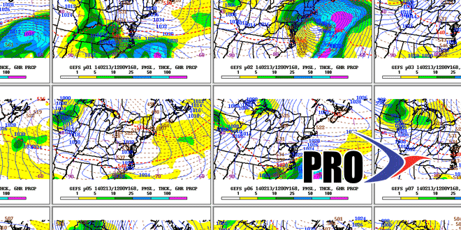
Many snow-lovers are anxiously awaiting the day that another Blizzard of ’78 develops. Of course, there are a lot of real world headaches that go along with the awesome power of the atmosphere. So, I’ll settle for something shy of a total encore! The pattern that will prevail in the next two weeks lends itself to storm development along the Eastern Seaboard. As we’ve seen so far this week, the storms can bring snow or mixed precipitation and rain. While the “potential storm” Sunday looks like a big swing and a miss, there is the possibility of something significant developing in the middle to end of next week.
We think the track could lead to a precipitation type issue with any storm that forms next week. We’re favoring a coast-hugging track that brings at least some mixed or rain to the coast of RI and SE MA. The timeframe we’re looking at for a storm next week is between Wednesday and Friday. Of course, restaurant owners up and down the Eastern Seaboard are praying it’s not on Friday – Valentine’s Day.
It looks like the northern branch of the jet stream will be active in week two. Alberta Clippers may become fashionable again – sort of like they were for a time in January. The bottom-line is it looks like a cold and active pattern from now to beyond Presidents’ Day.


