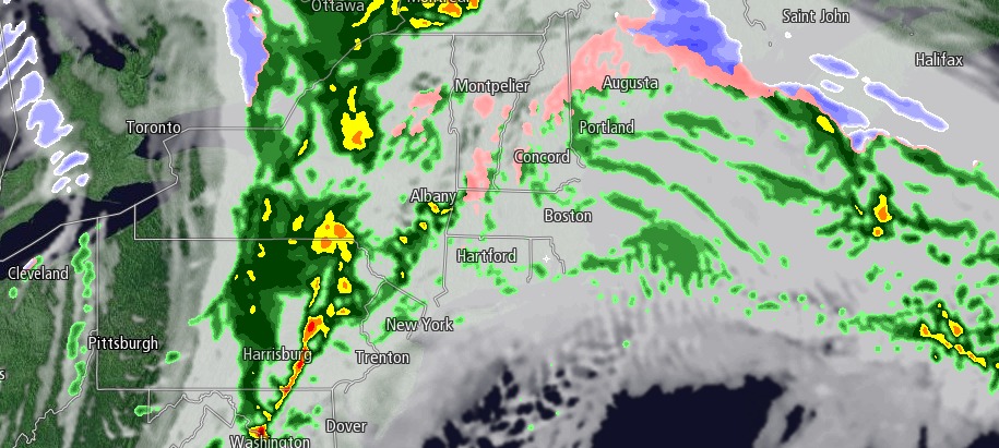
Thursday was the mildest day in New England in more than two weeks. Sunshine faded behind afternoon clouds, and cold rain showers are likely Thursday night as a warm front lifts through Southern New England. The temperature should stay a few degrees above freezing, avoiding a repeat of Thursday morning’s icy roads.
The weather north of the Massachusetts Turnpike may be nasty late Thursday evening as a burst of snow and mixed precipitation is likely from northern MA into southern NH. Accumulating snow is possible before a change to freezing rain in those areas. In southeastern New England the temperature will gradually rise through the 30s overnight.
Friday looks unsettled, but mild, with highs in the upper 40s to low 50s. There will be occasional rain showers and a southwesterly breeze. The shower threat ends by late Friday evening, and the weather is looking pretty nice this weekend.
Saturday will be a delightful day with highs in the mid to upper 40s under partly sunny skies. It will turn a bit colder on Sunday, but stay dry, with highs in the low 40s.


