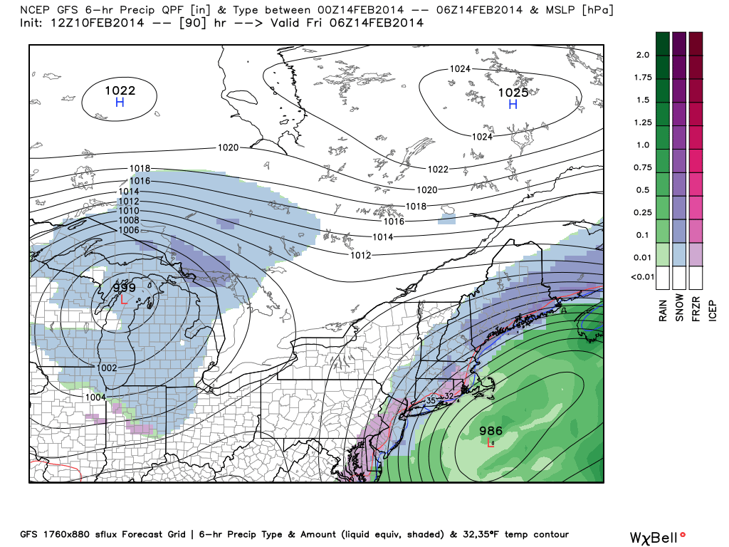
It is now likely that a significant storm will develop in the Southeast and bring wintry weather along the Eastern Seaboard on Thursday. However, it is not a lock that the storm will bring mainly snow to Southern New England. In fact, we are leaning to a scenario where there is more rain and mixed precipitation than snow in Southeastern New England from the coast to the I-95 corridor.
High pressure that is providing a cold/dry start to the week will slide east of Southern New England Wednesday night. A developing storm will move up the Eastern Seaboard, and the wind will swing around to the east-northeast drawing in milder air from the Atlantic Ocean. The storm is still about 72 hours away, and the details should come into focus in the next 24-36 hours.

It is too early to discard scenarios ranging from a moderate/major snowstorm to a mainly rainstorm in Southeastern New England. It is not even worth taking a stab at snow totals because of the high level of uncertainty with the precipitation type in a big chunk of Southern New England.
So, what are we confident in? That there will be a storm on Thursday that brings a period of moderate to heavy precipitation and gusty winds – strongest near the coast. The timing of the storm looks like late Wednesday night through Thursday before winding down Thursday night.
We’ll keep you posted on any changes to the forecast.


