The anniversary of the Blizzard of 1978 was very quiet in Southern New England. One day after a messy winter storm brought several inches of snow plus sleet and freezing rain, the weather was partly sunny and cold. Highs did not reach 30° in most spots in spite of increasing afternoon sun.
It's the 36th anniversary of The Big One. My first weather memory. pic.twitter.com/wu3Ieq7lVH
— Fred Campagna (@FredCampagna) February 6, 2014
It will be mainly clear and very cold Thursday night. Lows will be in the upper single digits to mid teens, with the colder readings in the countryside. After a chilly start, it should be a few degrees warmer on Friday. Look for plenty of sunshine with highs in the upper 20s to low 30s. There will be a 10 mph westerly breeze.
Friday night also looks mainly clear and cold. Once again, lows will range from the single digits to mid teens. Saturday will be partly cloudy with highs in the low 30s.
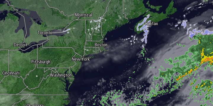
Some snow is possible on Sunday, but it will not be the big storm that looked like a possibility earlier this week. The energy in the southern branch of the jet stream will reach the Atlantic Ocean on Saturday, and the energy in the northern branch of the jet stream will lag behind by about 24 hours. The result is two separate storms instead of a single larger storm, and only a weak disturbance moving through Southern New England. We’re expecting mostly cloudy skies with occasional snow showers, and the chance of a minor accumulation that will not hamper travel.
Cold and dry weather is likely early next week before the possibility of a storm threat in the middle to end of the workweek. Highs Monday and Tuesday may be below freezing.


