A nasty winter storm that brought wet, heavy snow followed by cold rain and mixed precipitation on Thursday will move into the Gulf of Maine by Friday morning. Most of the Thursday night will be damp and dreary with light rain and drizzle, and some freezing rain well inland. Late at night, the tail end of the storm will move over Southern New England and possibly bring another round of snow between 4am-8am. The best chance of picking up an inch or two is in Eastern CT and Western RI. Elsewhere, there is the potential for a coating to an inch. The temperature will fall into the upper 20s to low 30s by dawn.
The strong storm moving into Canada will produce gusty winds over all of New England on Friday. It will become partly cloudy with 20-30 mph westerly winds that may gust over 40 mph through midday. The wind will stay active through the afternoon. Highs will be in the mid to upper 30s. The weather looks fine for taking your Valentine out to dinner on Friday evening. The temperature will settle back through the 30s under partly cloudy to mainly clear skies. The wind will relax to 5-10 mph by midnight.

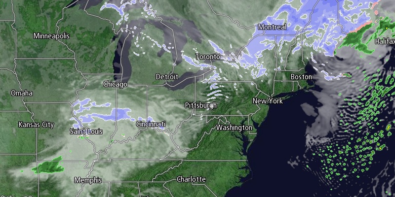
Don’t shoot the messenger on this one, but there is more snow in the forecast for Saturday. A potent jet stream disturbance will rapidly intensify as it hits the Mid-Atlantic coast Saturday morning. The question is can it get its act together in time to bring accumulating snow to Southern New England or will it just be a big storm for Nova Scotia? Odds are increasing that it bring snow to Southeastern New England on its way by Saturday afternoon and evening. We’re not confident enough in the scenario yet to put out an accumulation map, but an early estimate is in the 1-3″ range for RI and potentially more in far E MA. It will become windy as the storm passes by. In a worst-case scenario it becomes a quick-hitting Nor’easter with a period of heavy snow and strong winds. At the other end of the spectrum is a storm in its infancy that brings snow showers. We’ll keep you posted.
The weather looks quiet and cold on Sunday and Monday, with rain or a mix likely on Tuesday.


