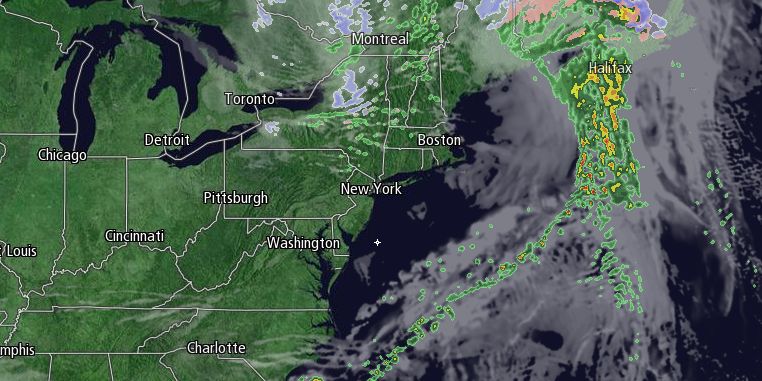
Clouds thickened on Friday ahead of a storm system that will bring showers Friday night. The temperature made it to near 50° in many spots away from the Eastern Massachusetts coast before the clouds thickened during the afternoon. Showers are likely between 8 pm Friday and 8 am Saturday. The temperature will stay in the upper 30s to low 40s overnight.

Clouds may hang around for a few hours Saturday morning before clearing by noon. It will be breezy and mild in the afternoon. Highs will be between 56-62°. The rest of the weekend looks quiet. It will be clear and cool with lows in the low to mid 30s. Sunday will be mostly sunny with an afternoon sea breeze. Highs will be in the mid to upper 50s.
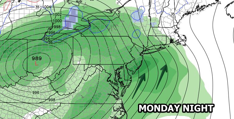
Decent weather will continue on Monday. It will stay mostly sunny through midday, and highs will be in the mid to upper 50s again. Clouds will thicken late in the day as a vigorous storm system moves into the Northeast. Rain is likely Monday night into early Tuesday. There will be some heavy downpours, possibly a few thunderstorms, and a southerly wind that may gust to 40 mph near the coast. An inch of rain is possible Monday night.
The storm will move away pretty quickly on Tuesday, setting the stage for a mild afternoon. Highs will be in the 60s if the sun breaks through by midday. It will be dry and seasonable in the midweek, with the next chance of rain late in the week.


