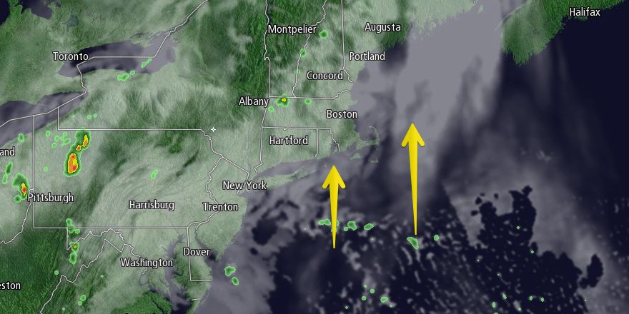
Tuesday was sharply cooler than Monday in most of Southern New England. The temperature flirted with 50° during the afternoon in Boston, and it was in the mid 50s in coastal Southeastern Massachusetts. Most of Rhode Island made it into the low 60s with a decent amount of sunshine. Tuesday night looks partly to mostly cloudy with lows in the mid to upper 40s. Patchy mist, fog, and drizzle are possible near the coast.

Wednesday should become partly sunny with highs near 60 in Eastern Massachusetts, and in the mid 60s in Rhode Island – still a bit cool for mid-May, but, overall, not a bad day. The wind will swing around to the south-southeast Wednesday night, and more patchy mist, drizzle and fog is possible. It will not be as cool as Tuesday night, with lows in the 50s.
The forecast is tricky for Thursday and Friday. It looks like it may be somewhat damp from time to time with a mild southerly breeze. Low clouds, mist, drizzle, and passing showers are possible on Thursday. The wind will be out of the south at 10-25 mph. It will be in the low to mid 60s near the coast, but may break into the low to mid 70s inland if the clouds burn off to partial sunshine. Right now, we expect a better chance of breaking into breezy and relatively warm conditions on Friday. Highs will be in the low to mid 70s inland, and near 65 at the coast. Once again, there will be a 15-25 mph breeze. A few showers are possible Friday afternoon, with a better chance of rain Friday night.
The front that brings rain Friday night will slowly ease through Southern New England on Saturday. The upshot is rain will continue into, and possibly through, Saturday morning. The temperature will be in the 60s. Rain may be moderate to heavy Friday night and Saturday morning, and thunderstorms cannot be ruled out.
In a best-case scenario, the rain ends by midday Saturday, and it will be dry or mainly dry for the rest of the weekend, with highs in the 60s to near 70. There is, however, a chance that a storm forms along the front, and it stays showery through the weekend. This is a trend were watching, and we’ll continue to keep you updated at rightweather.com.


