The forecast for this week looks pretty close to what we were expecting since early last week. A warm front will take its sweet time moving through Thursday and Friday. It will be cloudy and cool, with the chance of showers. The details on the weekend forecast are not completely clear, but, right now, the best chance of rain is Saturday night into early Sunday, with mild conditions Saturday afternoon, and the possibility of a sunny and warm Mother’s Day afternoon.
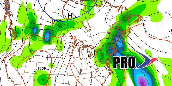
Looking ahead to next week, it should be decent early in the week. Highs may be in the 70s. The middle of the week is uncertain, with the potential for either showers or the warmest weather of the year to date. The European model keeps showers well to our west and allows a warm west-southwest wind to develop. If that happens, the temperature could break 80 by late in the workweek. The GFS model, however, is not as optimistic, and brings showers instead of the warm-up. The overall pattern favors showers in the Eastern United States, but it’s unclear if they’ll make it all the way to New England.
In the very long-term, we’re watching out for some rain sometime late in the weekend of May 17-18 or early the following week.


