
Father’s Day was gorgeous in Southern New England. Highs were near 80°, with a nice northwest breeze, and no humidity. The workweek will begin with more great weather. Highs will be in the mid to upper 70s with an afternoon sea breeze. The dew point will stay in the 50s, which is comfortable for mid-June.
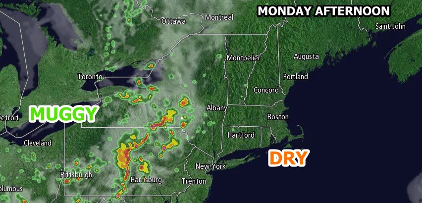
Monday evening looks pleasant. Skies will be mainly clear, and the temperature will slowly fall through the 60s. An approaching warm front could trigger showers and thunderstorms late Monday night and/or early Tuesday morning as it moves from west to east through New England. Lows will be near 60 Tuesday morning.
Warm and Muggy Midweek
The shower and thunderstorm threat diminishes during the day on Tuesday. It will become partly sunny, warm and humid. Highs will be in the low to mid 80s inland, and upper 70s near the coast with a southwest breeze. Tuesday night looks mild and muggy. Lows will be in the mid 60s.
Wednesday could be the warmest day of the year so far. There is a slight shower threat, but if the sun prevails, the temperature will jump well into the 80s, and possibly reach 90° inland. Right now, we’re conservatively predicting mid 80s because of the potential for showers and lingering clouds. It will be very muggy on Wednesday.
There is a better chance of showers and storms late Wednesday or Wednesday night as a cold front moves through the area. Thursday looks warm, but not as humid. Highs will be in the low to mid 80s. The early outlook for Friday and next weekend is for fair and dry weather. It looks like highs will be near 80, and lows will be near 60.
Cover photo by 02809photo.com


