Summer’s here! Meteorological summer, that is. The season goes from June through August. Of course, hurricane season is underway, too. In case you missed it, the outlook for summer and tropical season is here.
The past couple of days have been near-perfect in Southeastern New England. I, for one, would take this type of weather all summer. Lows in the 40s, highs in the 70s to low 80s – tough to beat! Looking ahead at the next couple of weeks, there is not going to be a lot of extreme temperatures. This is certainly one year where it’s tough to justly say that there was no spring in Southern New England.
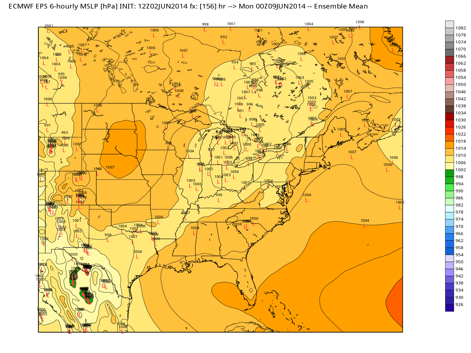
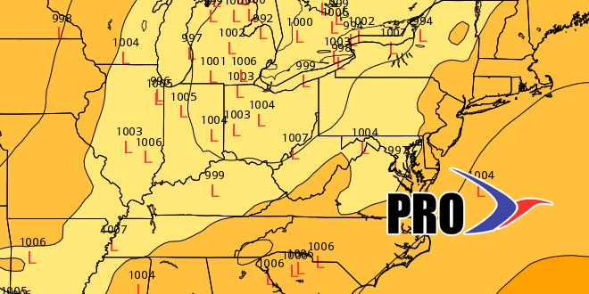
Midweek showers should give way to a large area of high pressure and dry weather from Friday through the weekend. It will be a pleasant airmass, with highs in the 70s and lows in the 50s Friday through Sunday. We’ll get to the “back side” of the high on Monday, and the wind will come around to the southwest drawing in muggier air ahead of a cold front. Right now, it looks like showers will hold off until late Monday, at the earliest. The theme of midweek showers will continue next week, although, it looks like the action will come on Tuesday, instead of Wed/Thu.
There should be another area of high pressure that moves in late next workweek. Dry and seasonable conditions are likely. A couple of fronts will move into the Northeast around the Father’s Day weekend. This far out, there’s no way to pin down when showers will threaten, but it may not stay dry through the weekend.
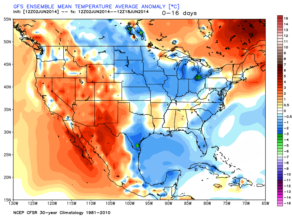
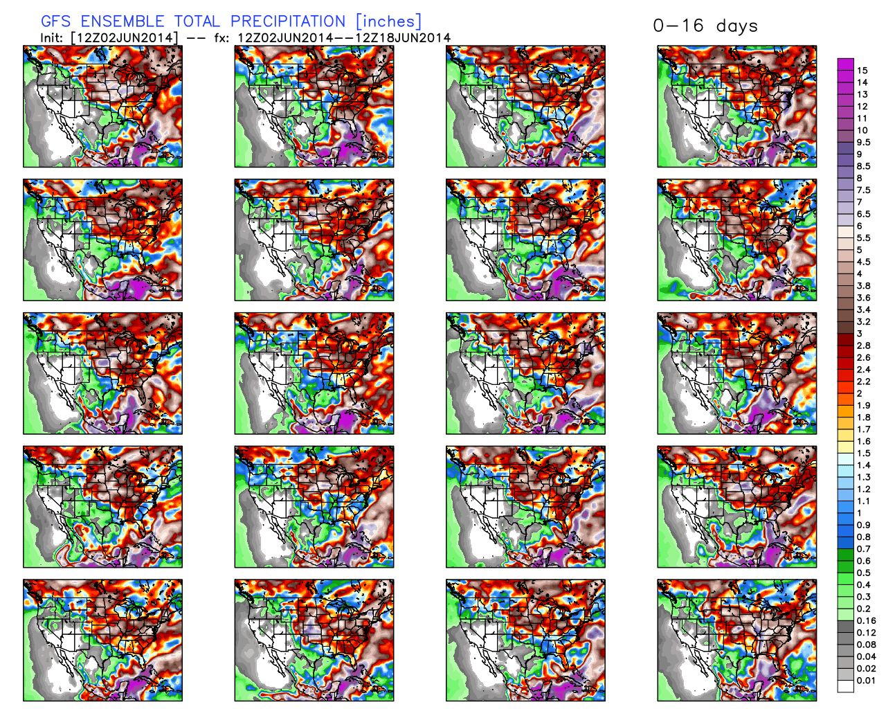
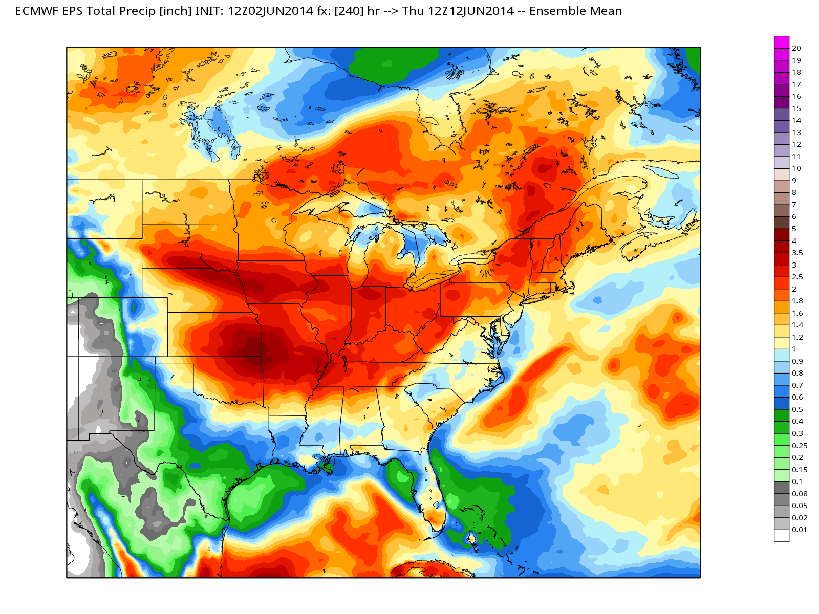
The forecast is for near to slightly above normal temperatures and rainfall in the next two weeks.