Extended sunny breaks were hard to come by on Thursday, but, overall, it was not a bad day. High temperatures were within a few degrees of 70. It will be cloudy, damp, and humid Thursday night. Mist, drizzle, and fog are possible near the coast in the evening. Scattered showers are likely after midnight. It will be breezy near the coast, and gradually muggier, with lows in the low 60s.

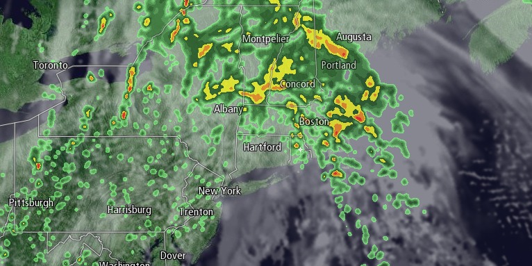
Rain is likely Friday morning as a warm front slowly moves through Southern New England. There may be embedded thunderstorms and heavy downpours. Temperatures will be in the 60s with a gusty southeasterly breeze near the coast. A break in the action is possible in the afternoon if the warm front pushes north of Southern New England. The temperature may reach the low to mid 70s if the sun breaks through the clouds.

Another round of showers and thunderstorms is possible Friday night as a cold front approaches. It will be mild and very muggy. Lows will be in the 60s. It looks like the system will take its sweet time moving offshore, and clouds/showers could linger for a through midday Saturday. It will get brighter late in the day. Highs will be in the 70s.
A nice stretch of weather is ahead from Father’s Day into the middle of next week. Sunday will be mostly sunny with highs inland near 80. It will be in the 70s at the coast with a sea breeze. Monday looks similarly sunny and seasonably warm. It will get muggier in the middle of next week. Highs will be in the low to mid 80s on Tuesday, and possibly Wednesday if a cold front stays to the west. Lows will be in the low to mid 60s.


