Monday was another delightful day in Southern New England. Highs were near 80 inland, and in the low to mid 70s near the coast with an onshore breeze. Clouds will gradually increase Monday night, and a few showers or thunderstorms are possible late at night as muggier weather arrives with a warm front. Lows will be in the upper 50s to low 60s.
The shower threat should end by 8 am, and it will become partly sunny in the afternoon. A south-southwest breeze will keep the temperature in the mid to upper 70s near the coast. It will reach the low to mid 80s inland, but feel warmer because of the humidity. The dew point will climb into the mid 60s.

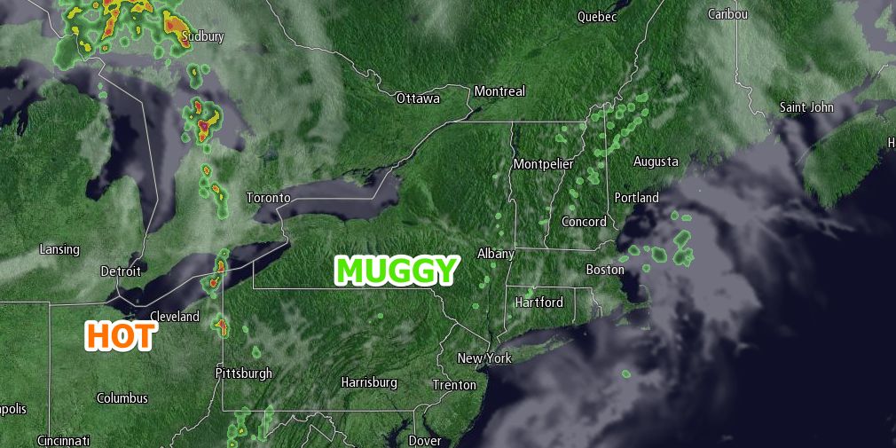
Tuesday night looks muggy and mild. Scattered showers and thunderstorms are possible late at night. Lows will be in the mid to upper 60s. Wednesday will be partly sunny with a slight chance of showers and thunderstorms. It will be very warm to hot inland, and a bit cooler near the coast with a slightly onshore breeze. Highs will flirt with 90° away from the coast, and it will be in the low 80s near the coast. Dew points will stay in the mid 60s – not oppressively humid, but muggy enough to make it feel a few degrees warmer.
The wind will shift to the northwest and bring in drier and gradually cooler weather for the end of the workweek. Thursday will be another warm day, but not as humid. Highs will be in the low to mid 80s with partly sunny skies.
Friday and Saturday both look mostly sunny and seasonable, with highs near 80, and lows near 60.


