Tropical Storm or Hurricane Arthur will pass out to sea well east of Nantucket, but the connection between the tropical system and a stalled cold front over Southern New England should be strong enough to lead to torrential downpours in Rhode Island and Southeastern Massachusetts on the 4th of July.
Scattered strong to severe thunderstorms developed Wednesday afternoon over interior New England. Most of the action will stay out of Rhode Island and Southeastern Massachusetts through early Wednesday evening, and there is a slight chance of a thunderstorm Wednesday night. It will be mild, breezy, and muggy, with lows in the upper 60s to low 70s.
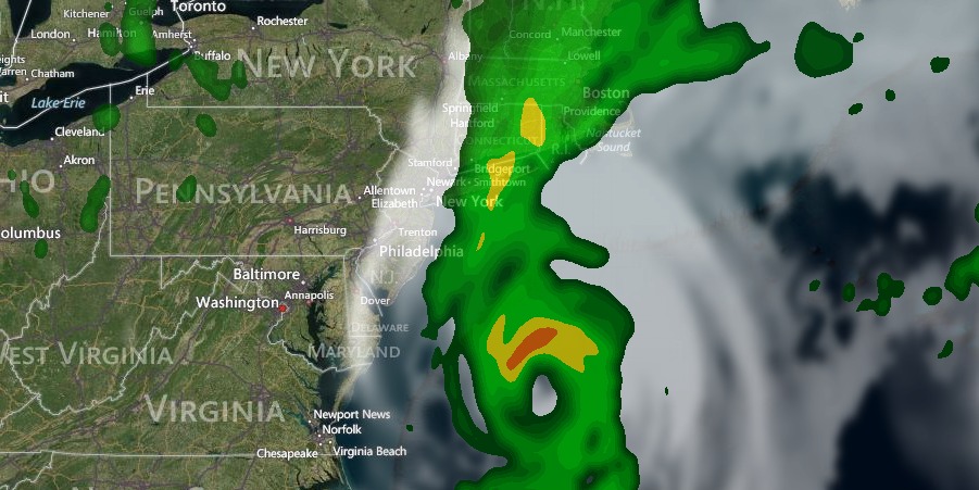
The same humid weather will be around on Thursday, and the cold front will be a bit farther east, so the shower and thunderstorm threat spreads into Rhode Island and Southeastern Massachusetts. Look for partly to mostly cloudy skies with highs in the upper 70s near the coast and low to mid 80s inland. The potential exists for showers and thunderstorms all day, but there will be dry stretches between any showers/storms. Any thunderstorms could contain briefly strong winds, heavy downpours, and frequent lightning.
A general shower and thunderstorm threat continues Thursday night. It will be mostly cloudy with patchy fog near the coast. The temperature will stay in the upper 60s to low 70s because of the high humidity.

Showers, with possible thunderstorms, will develop during the day on Friday. There could be heavy downpours and localized street flooding. The temperature will be in the 70s, and the wind will not be a factor. As Arthur passes Nantucket Friday night, the rain may be enhanced, especially in coastal RI and SE MA. Overall, there is the potential for 1-3″ of rain in most of RI and SE MA from Thursday through Friday night. Some areas could see even higher amounts if heavy showers persist over one spot for several hours Friday and/or Friday night. Flash flooding is possible.
There is not likely to be much of a wind impact from Arthur in most of Southern New England. The wind will swing around to the north or northeast Friday night, and Cape Cod and the islands could see gusts to 40 mph. Buzzards Bay and the RI coast could see 25-30 mph gusts. This forecast is based on the current projected track, and if it shifts closer to the coast, then the winds will be more of an issue.
Arthur is sure to churn up the Atlantic Ocean and send large waves at area beaches on Saturday. High surf and dangerous rip currents are possible. The weather will quickly improve on Saturday, and it will turn into a nice beach day. Highs will be in the low 80s inland, and 70s near the coast, with plenty of sunshine Saturday afternoon. Sunday and Monday both look mostly sunny and warm, with highs in the mid 80s inland and near 80 at the coast.


