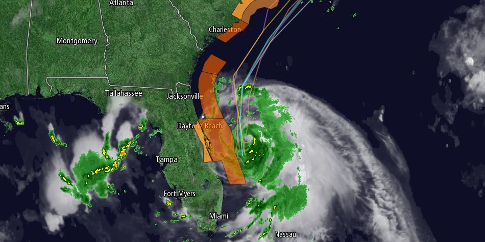
The first tropical storm of the season is expected to become a hurricane by midday Thursday as it churns off the Southeastern United States coast. Tropical Storm Arthur was packing winds of 60 mph and moving north at 9 mph about 90 miles east of Cape Canaveral, Florida at 5 am on Wednesday morning.

The storm is expected to strengthen and turn north-northeast and then northeast brushing by the Outer Banks of North Carolina and turning out to sea east of Southern New England. The $64,000 question is “how close will it come to Southern New England on its way by early in the weekend?” At this point, it looks like the storm will be far enough away that all but the Cape and islands will be spared gusty winds, but the tropical system combined with a cold front could lead to locally heavy rain on the 4th of July and Friday night.
Track the storm at rightweather.com: http://bit.ly/hurricane-track
Wednesday will be partly sunny, breezy to windy, warm and humid. Highs inland will be near 90, and the beaches will be near 80. There may be thunderstorms away from the coast in the evening. Patchy fog is possible Wednesday night, and a thunderstorm cannot be ruled out. Lows will be near 70.
Thursday also looks partly sunny, with the chance of thunderstorms, especially inland, in the afternoon. Highs will be in the low to mid 80s as it stays breezy and very humid. The cold front that may trigger the storms will slow or stall over Southern New England as it interacts with Arthur. Scattered heavy downpours are possible Thursday night through Friday, but it’s difficult to know at this point where they will set up. It is not out of the realm of possibility that some areas stay mainly dry in that timeframe, but it’s probably best to have a contingency plan if you have an outdoor event or party scheduled for the 4th.
- Rain Potential – 1-2″ or more of rain likely in hardest hit areas, but amounts may vary greatly depending on track of Arthur and place of cold front
- Wind Potential – Most of Southern New England will likely be spared winds over 30 mph. Best chance of 30-40 mph wind is on lower Cape Cod and Nantucket late Friday night and early Saturday.
- Waves/Seas Potential – Arthur is likely to create very rough surf at area beaches, and seas outside of the bay could build to 5-8 feet.
It looks like the best chance of steady rain is Friday night into early Saturday as the storm passes east of Nantucket. The heaviest rain is likely to be closest to the center of the storm on Cape Cod and Nantucket. Those areas may also see 30-40 mph wind gusts mph late Friday night into early Saturday. Of course, there is potential for stronger winds if the storm comes closer than now forecast. According to the National Hurricane Center, Providence has a less than 30% chance of seeing 40 mph winds, while it’s 50% on Nantucket.
The weather will improve quickly on Saturday, but Arthur will churn up the ocean as it moves by, and large waves may lead to a high rip current risk at area beaches. So, while it may be a nice weekend to be at the beach, swimming could be dangerous or off limits for a time.


