Long-Range Forecast – July 21

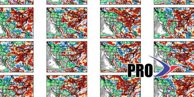
There will be a brief warm-up in the middle of the week before a cold front threatens with showers and thunderstorms from late Wednesday into early Friday. The weekend is shaping up to be seasonably warm with sunshine giving way to clouds late Sunday as the jet stream buckles again in the Eastern United States. Another shot of unseasonably cool weather is heading of the Great Lakes and Midwest next week, and the pattern will be unsettled along the East Coast.
Showers and thunderstorms are possible from at least the start to middle of next week as the trough slowly moves through the Northeast. It’s hard to say if any day will be a total washout, but, in a worst-case scenario there could be a few inches of rain in Southern New England during next workweek. Even after the system moves away, there will not be any big-time heat moving into the Northeast. There is not likely to be any big shift in the overall jet stream pattern through early August.


