Long-Range Forecast – August 15
We are halfway through August, and the month is running about 2° cooler than normal in Southeastern New England. It was dry for a while, but Wednesday’s rainfall more than made up for the deficit in many spots, including the Providence area.
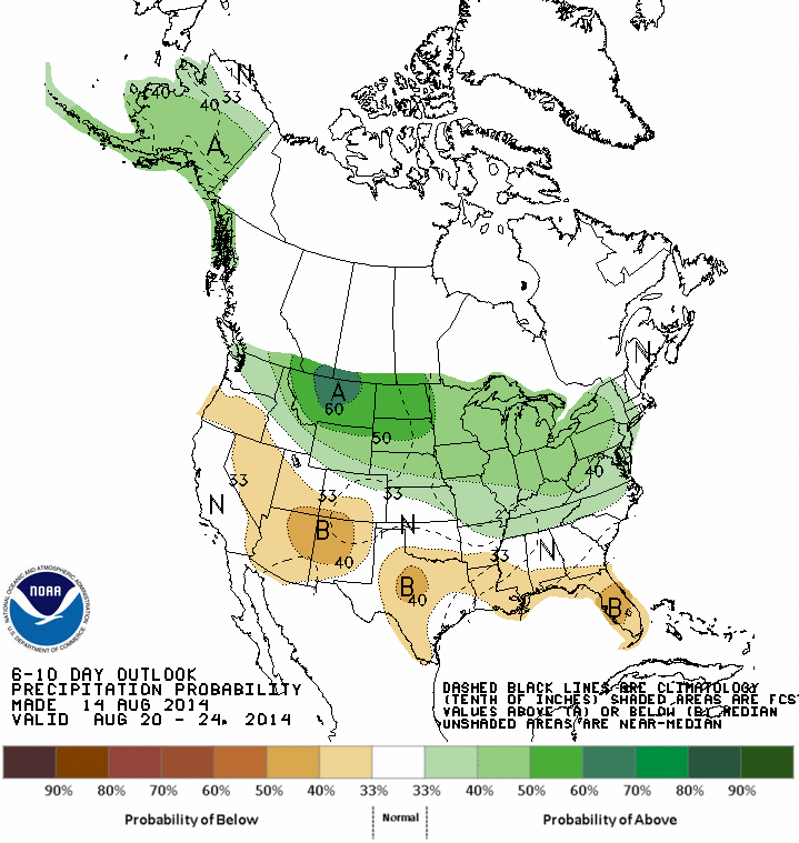
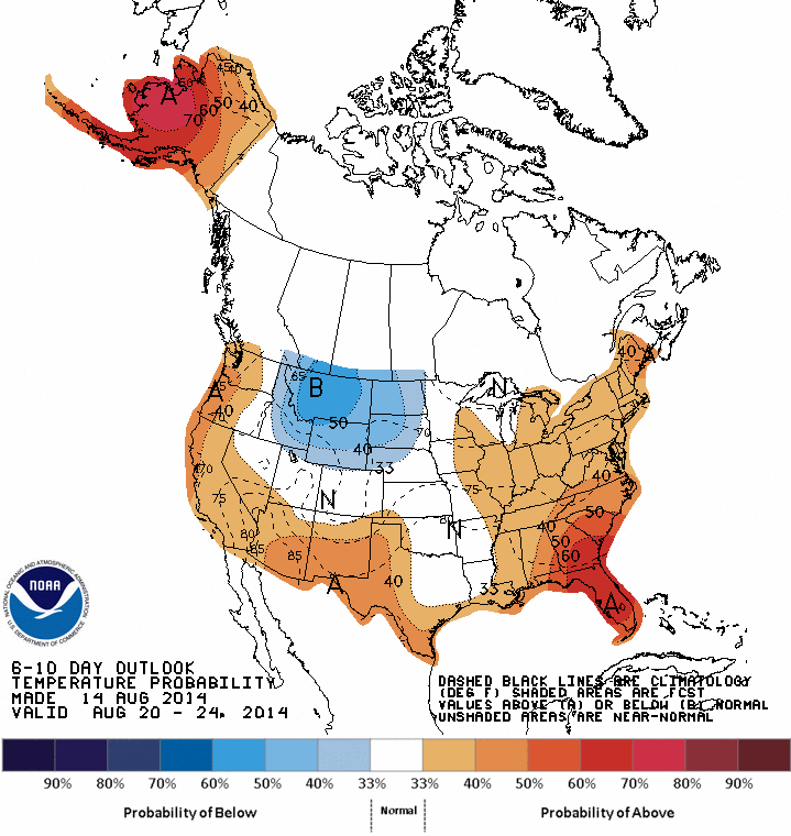
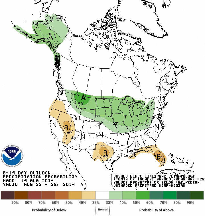
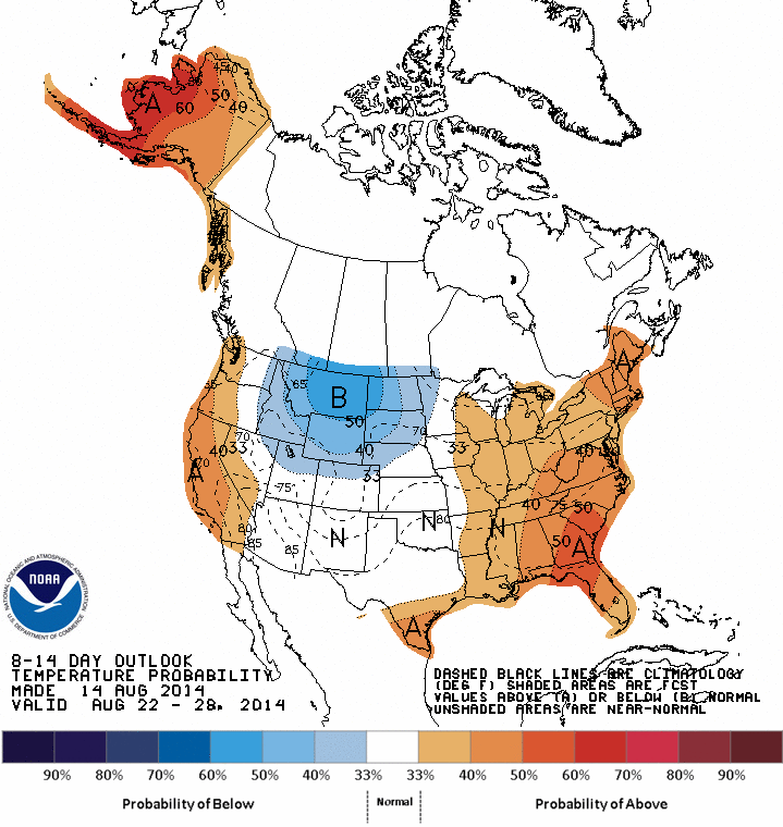
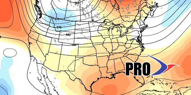
The first Long-Range Forecast of the week highlighted the potential for warm weather late in August. Now, it looks like the warmth will not be too impressive in the Northeast, and there are signs that it could be near or even slightly below normal. The bottom-line is more 90° heat seems unlikely, and the high temperature for the year in Providence may wind up being a relatively low 91°, with only three days reaching 90. That’s a far cry from last year, but something we were expecting in the seasonal outlook.
Unsettled weather will not be far from Southern New England in the next couple of weeks. At this point, it looks like high pressure over the Northeast and Eastern Canada will keep the rain away most of the time. If there is going to be a warm-up, it looks like it will happen late in the month, but, there has been a recent computer model trend where the warmth is there in days 10-15, but as those days near, it disappears.
