Long-Range Forecast – August 21

We are 20 days into August and there has only been one day, August 6 (+3°), more than 1° above normal. And, lately, there have not been any “warm” days. The past 10 days have been at or cooler than normal in the Providence area. We’ll keep the streak going into, and probably through, the weekend. The best, and possibly only, chance of widespread showers in RI and SE MA through most of next week is Friday morning. There will be increasing sunshine during the weekend, and it will gradually get warmer early next week.
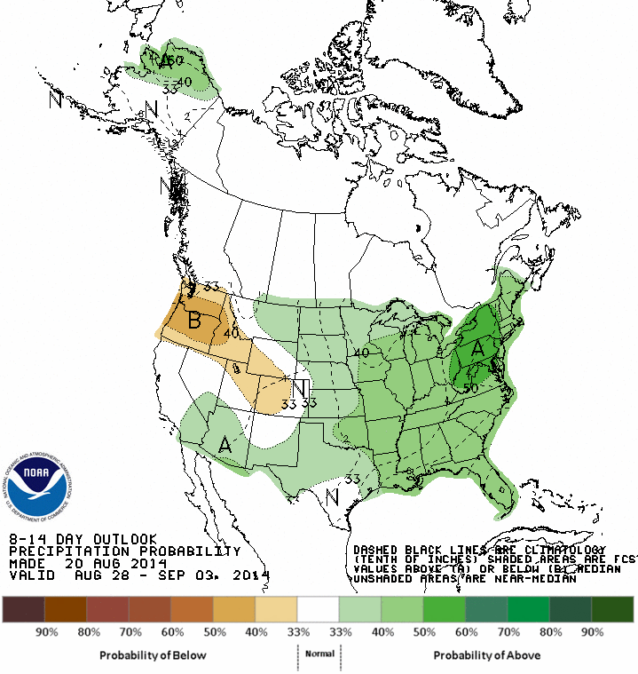
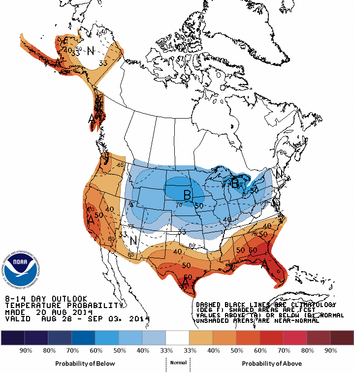
By the middle of next week, it will be at or warmer than normal for a few days. A cold front will bring the threat of a few showers late in the workweek or early in the Labor Day weekend. The front looks progressive, and another area of high pressure will move in from central Canada bringing more fair and seasonable weather.
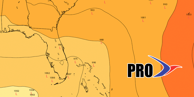
The disturbance in the tropics has moved well north of the computer model consensus from a couple of days ago. Per the NHC, it has a 50-70% chance of becoming a tropical storm in the next 2-5 days. If Cristobal forms, the odds favor it passing east of Florida and moving out to sea, but a track farther south into the Gulf of Mexico is not completely off the table at this point. In any event, it’s no imminent threat to land.


