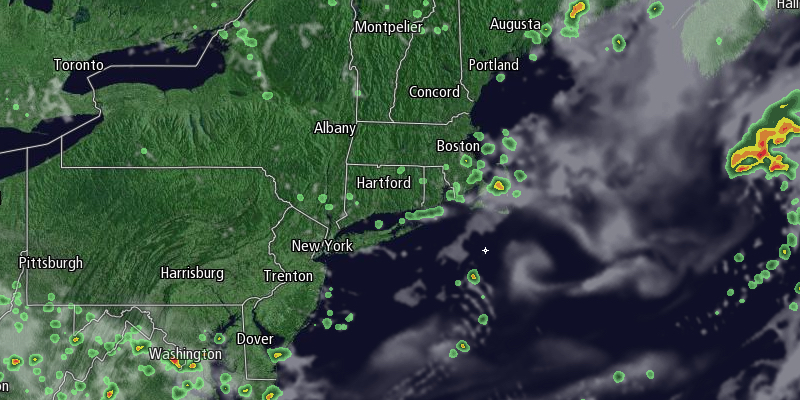
Clouds streamed in Saturday afternoon ahead of a cold front that will threaten Southeastern New England with just a few showers late Saturday night and on Sunday. Rain will hold off through Saturday evening before scattered showers arrive late at night. Lows will be in the low to mid 60s. We are not expecting widespread heavy rain.

The shower threat looks spotty on Sunday, too. It will become partly cloudy, with highs in the upper 70s to low 80s. Showers cannot be ruled out until Sunday evening, but most or all the day will be dry wherever you are in Southeastern New England. It will become clear Sunday night with lows in the mid to upper 50s as another shot of refreshingly dry weather moves in.
Monday and Tuesday should be mainly clear and comfortable. Highs will be in the upper 70s to low 80s. Lows will be in the mid to upper 50s. There will be a light breeze.
A midweek storm will likely stay south of Southern New England, but more clouds are possible Wednesday into Thursday. Highs will be in the mid to upper 70s. The forecast for later in the week is uncertain. A slow-moving storm may come far enough north to bring showers from late Thursday into the weekend. There is a chance the storm stays far enough south that mainly dry weather continues, so stay in touch with the forecast early in the week for any changes.


