Long-Range Forecast – September 18

This September is well on its way to being among the driest on record in Southern New England. There has only been 0.54″ of precipitation in the Providence area, and that’s just a hair above the record low total for the month – 0.48″ in 1914. Of course, there are still nearly two weeks left in the month, but, most of the time it looks like dry weather will continue.
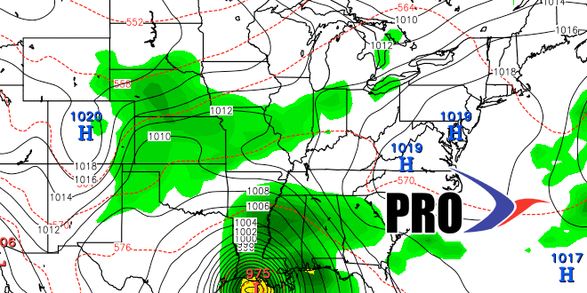
Our next shot at some rain is late in the weekend, but it looks like an offshore storm and approaching cold front will not get together, and the weather will be mainly dry except for scattered showers Sunday night as the cold front passes.
Most or all of next week will be dry. A huge area of high pressure will set up shop in the Northeastern United States, and fair weather is likely from Monday into next weekend. It will be seasonably cool early in the week, and then get warmer than normal late in the week. Of course, 70° is warmer than normal in late September, so we’re not necessarily talking about a heat wave!
We will continue to watch the Gulf of Mexico and off the Southeast coast for anything tropical next week into the early October. Some models are hinting at developing tropical systems in the 10-15 day range.


