Long-Range Forecast – October 13

So far, October has gone according to the book. The temperature is within a degree of normal through nearly two weeks, and there has been a reasonable amount of rain. The weather will get active later this week, and there is potential for more action later this month, too. This week’s moderate to heavy rain looks like a lock on Thursday. Next week, the forecast is uncertain because the storm system may develop far enough offshore that it does not have an impact in Southern New England, and that would mean an extended dry stretch in this slow-moving weather pattern.
It will be breezy and mild through this workweek. Patchy dense fog is possible at night. The days will be dry or mainly dry through Wednesday. Thursday, however, looks wet – especially in the afternoon and evening. Moderate to heavy showers, and possibly thunderstorms, will develop ahead of a cold front that is slowly moving east through the Eastern United States.
The weather will improve quickly on Friday, and the weekend looks fairly quiet. Saturday will be seasonably warm with some late-day clouds. Scattered showers are possible as cooler air arrives with a disturbance on Sunday. It does not look like a washout, and if the timing changes slightly, the day will be partly sunny and seasonable.
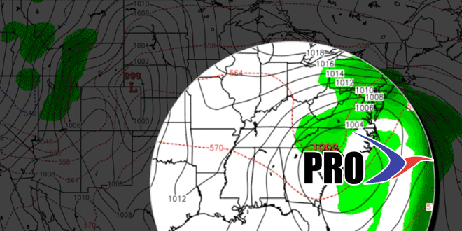
We are leaning to most of the action next week being offshore as high pressure moves in from Eastern Canada. Eventually, in this pattern, something could develop over the Southeast and move up the Eastern Seaboard bringing a wind-driven chilly rain. That’s possible in the last five days or so of October.


