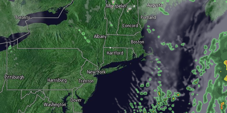
A cold front moving through New England on Saturday triggered scattered shower and even a few thunderstorms. Behind the front, the weather is much cooler, and it will be noticeable in Southern New England by Sunday morning. The temperature will fall into the mid to upper 40s early in the day, and it will only rise into the low to mid 50s in the afternoon under partly cloudy skies with a gusty 15-25 mph northwesterly breeze.

The temperature will plummet into the 30s Sunday night. The wind will stay active in the evening, but may diminish after midnight. Frost is unlikely, but the temperature could fall to near or below freezing in inland Southern New England. A Freeze Watch is in effect for some areas away from the coast that have not seen sub-freezing weather this season.

After a chilly start, Monday will be decent with mostly sunny skies and highs in the mid to upper 50s. It will stay dry through Monday evening, but showers are possible after midnight as a storm begins to develop off the Northeastern United States coast. That storm will be bothersome for the rest of the workweek. Showers are possible on Tuesday, with highs near 60.
The best chance of rain next week seems to be Wednesday and Thursday as the storm intensifies and sits nearly stationary off the Southern New England coast. The temperature will hold in the upper 40s at night and 50s during the day with occasional rain and a brisk northeast breeze. The persistent northeast wind could lead to coastal flooding for east-facing shorelines.
It looks like showers will linger into or through Friday as the storm ever so slowly drifts east away from New England. More than an inch of rain is likely in most of Southeastern New England between Tuesday and Friday, but it is still unclear if the heavier rain will be in Southern New England or Northern New England. It will depend on exactly where the storm develops and how it wobbles around off the coast in the midweek. The good news in this forecast is that next weekend should be dry and seasonable as high pressure moves in after the storm leaves.


