Computer Model Trends – Pre-Thanksgiving Storm

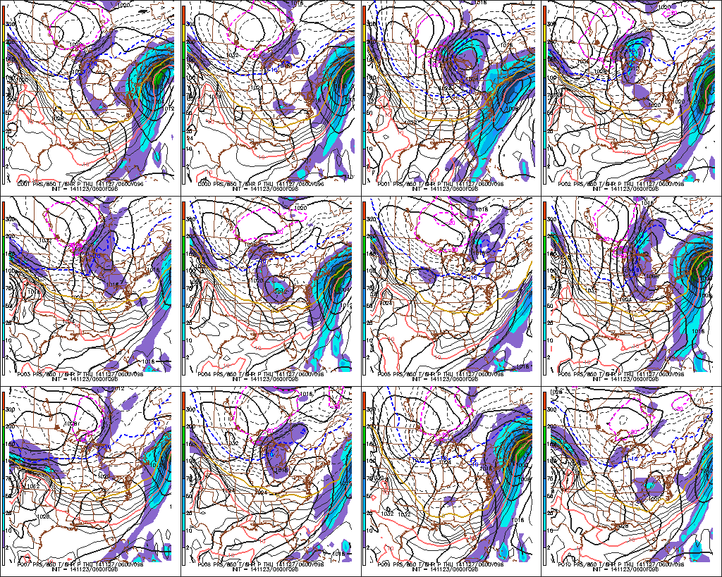
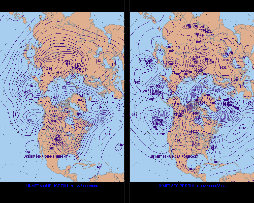
It looks like there will be inclement weather in at least part of the Northeast on the Wednesday before Thanksgiving. A storm developing off the Southeast coast will move off the New England coast by Wednesday night, and potentially bring moderate to heavy precipitation and strong winds. At this point, we are leaning toward a cold rain scenario for all of Southeastern New England because of the lack of available sub-freezing air, the time of year, and a favored storm track that is a little too close for snow. Based on the current computer model trends, we think the best chance of snow is west of Worcester in the Berkshires.
Interestingly, the model that hits Southern New England the hardest, the ECMWF (European), will probably generate the most hype for a potential blockbuster snowstorm, even though when analyzed closely it is a rainstorm for most or all the area. The track of the storm on the ECMWF is too close to shore, and a surge of mild air invades at the same time as the heaviest precipitation. It would be a nasty night with wind and rain, but snow would not be an issue.
Most other models are farther east with the storm track, and that allows for slightly colder air to get involved. In my estimation, even those models are not lining up for a significant snow event. It’s too early, however, to say it will not happen, because there is a solution between the ECMWF and most other models that would bring a large, intense storm just far enough offshore to lock in the cold weather and allow for an early season snowstorm in the I-95 corridor. Right now, however, that seems unlikely. We are leaning toward a storm that hugs the coast and brings heavy rain and gusty wind Wednesday night before ending around dawn on Thanksgiving. If that happens, any football games played on natural grass Thursday morning could be severely affected by flooded fields.


