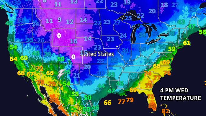
The Upper Midwest and Rockies are dealing with a major early season cold outbreak. Southern New England will get a taste, but certainly not the brunt, of the chilly weather in the coming days. The temperature was nearly 50° colder than the normal high in Denver, CO on Wednesday afternoon! The extreme cold weather will not make it to New England, but it will be noticeably cooler on Thursday than Wednesday.
The temperature will start the day in the mid 30s with partly cloudy skies early in the day. A blend of sun and clouds will continue through the day. The temperature will struggle to reach 50° with a 5-15 mph northwest breeze.

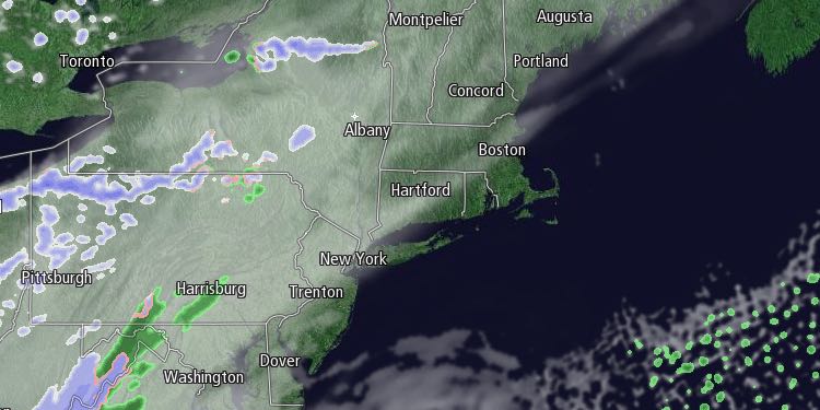
Another surge of chilly weather will arrive Thursday night, and rain and/or snow showers are possible from late at night through the Friday morning commute. The precipitation may start as rain, but a change to snow is possible around dawn. A coating of snow is possible on the grass, but it should not readily accumulate on paved surfaces because the temperature will be in the mid 30s. Any showers will end by around 10 am, and it will become partly cloudy in the afternoon. Highs will only be in the low 40s.
Friday night looks mainly clear and cold. Lows will be in the mid to upper 20s inland, and upper 20s to low 30s near the coast. Saturday will be bright, but chilly. The high temperature may not reach 40° away from the coast, and it will barely reach 40° near the coast.
Sunday will also likely be dry and cold. Lows will be in the mid 20s to low 30s, and highs will be in the low to mid 40s with clouds increasing late in the day. A developing storm system will bring mainly or all rain to Southern New England between late Sunday night and Monday night. The track of the storm should be close enough to Southern New England that mild air scours out the cold weather that will arrive this weekend. In fact, if the storm center passes west of Southern New England, the temperature will jump into the mid to upper 50s with rain Monday into Monday night.
There will be more cold weather arriving as the storm moves away on Tuesday. The temperature will fall all the way into the 20s on Tuesday night, and highs on Wednesday may be in the 30s – even with some sunshine.


