Long-Range Forecast – December 23

Where’s winter? That’s the question a lot of Southern New Englanders are asking these days. December has been slightly mild and very wet to date. With another soaker on the way, this may become a top-10 wettest December on record in the Providence area where the records date back to 1904. It will also be unseasonably mild for a few days, and that should push this month from “slightly mild” to “very mild” by the end of the weekend.
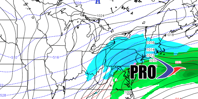
There are still some signs that the pattern will change late in the month and early next year, but it does not look like as much of a slam dunk as I thought it would be. It will be colder next week, and our first shot at snow is early in the week. Very cold weather will move into the western United States, and it will slowly slide east. There may be opportunities for snow, but there is nothing glaring that suggests it’s imminent. There has not been a lot of run to run consistency among the computer models in the 8-15 day range. Sometimes it looks like we’re in for a rather snowy 8-10 days, other times it’s cold and quiet, and there are some runs where it’s not even that cold!
I will be watching this pattern evolve over the next few days, and the next Long Range Forecast will be on Friday. Have a Merry Christmas!


