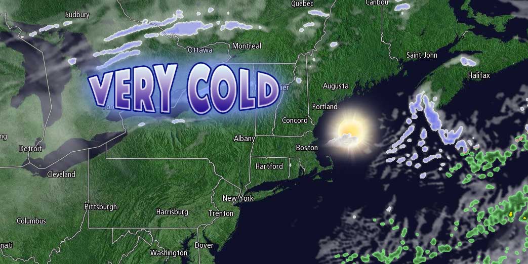
Dry and cold weather is moving into Southern New England behind the cold front that brought snow Friday morning. The temperature will fall into the low to mid teens by dawn on Saturday under clear skies. Wind chills will be in the single digits. It will be very chilly Saturday afternoon. Look for highs near 20, and wind chills near 10, with plenty of sunshine. The forecast is chilly for the Patriots-Ravens game at Gillette Stadium Saturday evening.

It will be very cold early Sunday. Lows will be in the low to mid teens. Sunday afternoon looks partly cloudy with highs in the upper 20s to low 30s. It will stay dry through Sunday night. Lows will be in the 20s.
The forecast is tricky for early next week. A storm system moving out of the Southeastern United States will bring a wintry mix to Southern New England. The early outlook is for increasing clouds with snow or mixed precipitation developing in the afternoon and continuing through the evening. Highs will be in the low to mid 30s. The best chance of snow is inland. The precipitation does not look terribly heavy, but some travel impacts are possible.
Cold and dry weather will follow for the middle of next week. The snow, mix, rain threat ends late Monday evening, and a cold, dry breeze will develop by Tuesday morning. It will be dry and cold Tuesday and Wednesday. A storm may threaten late in the workweek, but it’s also possible that it will stay far enough offshore to spare the area any precipitation. If it is far enough offshore, it will be dry and seasonably cool into next weekend.


