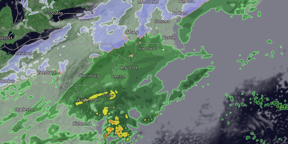
A storm system moving in from the west and south will bring mainly cold rain to Southeastern New England. There is a slight chance of 1-3 hours of snow then freezing rain in northwest RI between 6-9 am. Otherwise, the precipitation will begin as chilly rain with temperatures climbing into the mid 30s during the morning. Any freezing rain in NW RI will change to rain after 9 am. Rain will be steady in the afternoon with highs between 35-40.

The precipitation will end by late in the evening, and it may end as a brief period of snow/sleet inland. The temperature will fall through the 30s into the upper 20s to low 30s after midnight. Icy spots are possible late at night and early Tuesday as skies clear. A westerly breeze will help to dry the pavement.
The rest of the workweek, and possibly the weekend, will be very quiet. It looks colder than normal in the midweek, with a seasonable chill late in the workweek. The temperature will be in the 20s on Tuesday and Wednesday afternoon. Both days look mostly sunny. Lows will be in the teens Wednesday and Thursday morning. The temperature may get into the mid to upper 30s on Thursday with a blend of clouds and sun.
Friday looks like a nice day with highs in the upper 30s to low 40s. The early outlook for next weekend is for more dry weather. It also does not look too cold, with highs in the upper 30s to mid low 40s – warmer than normal for mid-January.


