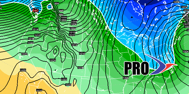
After some morning snow on Friday, it will be cold and dry through the weekend. Saturday looks like the colder of the weekend days, with highs not much above 20 in Southeastern New England. Moisture streaming out of the Southeastern United States will overrun the cold air in the Northeast on Monday, and that could lead to a messy storm in the afternoon and evening. While it does not look like an intense storm, there could be some snow, mixed precipitation and rain. The best chance of snow is inland, with a better chance of rain on Cape Cod and the islands. The I-95 corridor may see a wintry mix of snow, sleet, and rain.
It will likely dry in the middle of next week. A storm will move off the Mid-Atlantic coast Thursday into Friday. A couple of days ago it looked like the storm would come close enough to bring a snow/rain threat to Southern New England. At this point, the track has shifted farther south and east, and, some models keep it offshore with no precipitation in Southeastern New England. We are not ready to write this snow/rain chance off just yet, and it will be watched closely in the next few days.
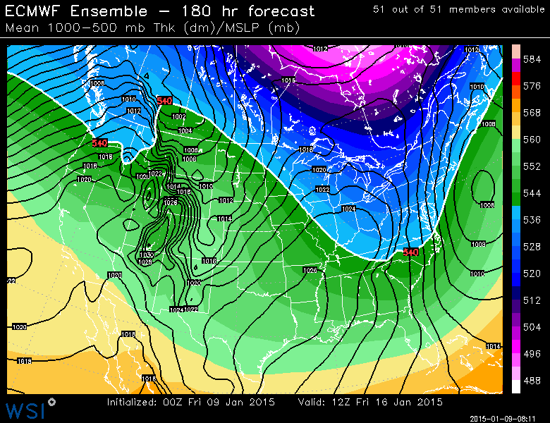
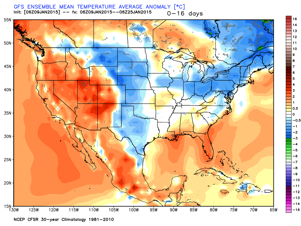
The weather does not look as cold early in the following week. The overall pattern may stay active with near normal precipitation expected. A storm may move west of Southern New England around January 20-22. If that’s the track, then there will not be exclusively snow, but more likely a mix of snow and rain.
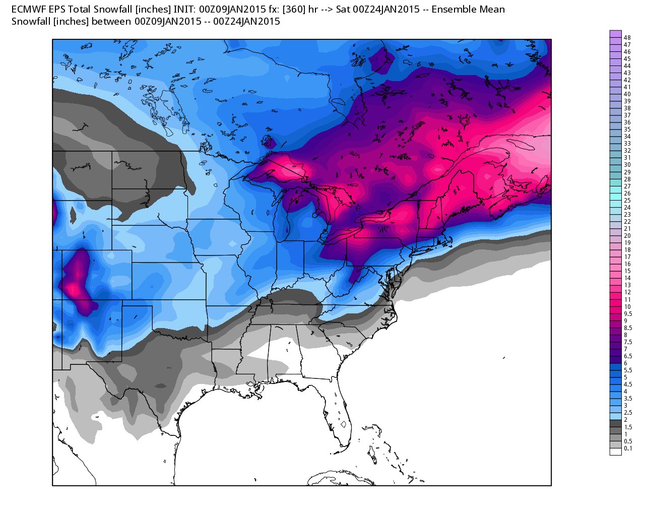
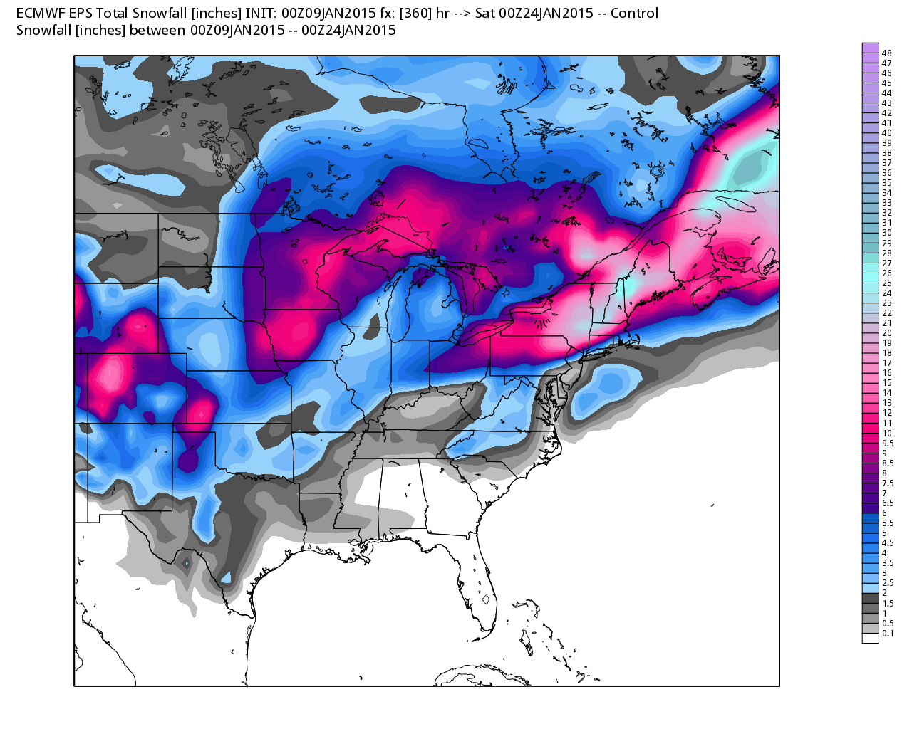
So far, the winter has been as active as expected, but the storm track has not been favorable for snow. Going into Friday, there was only 25% of the normal amount of snow in the Providence area since winter started. It’s unlikely, without the benefit of a major Nor’easter, that there will be above normal snowfall for the winter in Southeastern New England. There should be several storms in the next 6-8 weeks, and if the storm track shifts south, we could make up some ground on the snowfall deficit. We do not expect the rest of the winter to be as “snow-free” as the last 5-6 weeks.
Next Two Weeks
Temperature in SNE – Near Normal
Precipitation in SNE – Near Normal