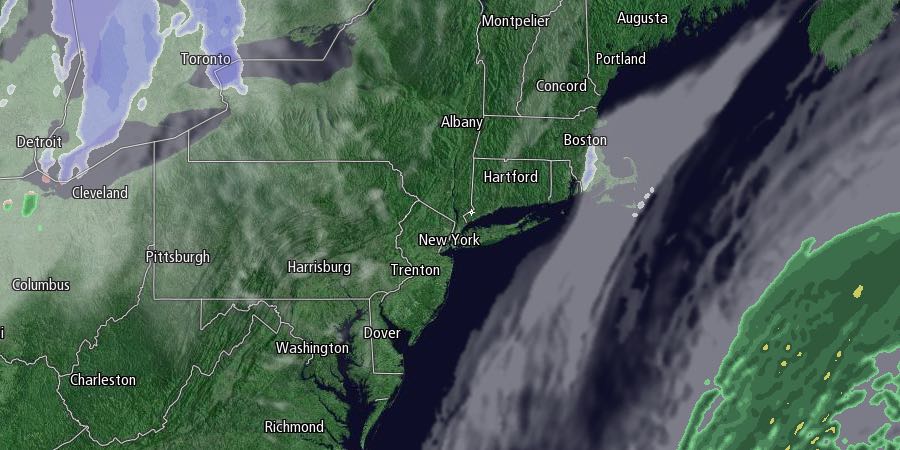
There will not be much snow melting in Southern New England in the foreseeable future. A cold weather pattern will continue into the weekend, and there may be some light snow added to the record snowpack in Southeastern New England. Wednesday will be mostly cloudy with the chance of flurries, especially in Eastern Massachusetts. Highs will be in the mid to upper 20s – more than 10° colder than normal for this time of the year.

It will be partly to mostly cloudy with the chance of flurries Wednesday night. Lows will range from the upper single digits to mid teens. Clouds will thicken on Thursday, and light snow is possible in the afternoon. There will likely be light snow or snow showers Thursday evening as a storm develops offshore. The storm will most likely be far enough away that the most of Southeastern New England is spared more than an inch or two of snow. The exception will be on Cape Cod and the islands where a few inches could accumulate Thursday night. The snow threat ends before dawn on Friday.
Friday looks partly sunny, brisk, and very cold. The high temperature may not reach 20°, and it will feel colder because of a northwest wind. The temperature will fall to near 0° inland, and the single digits near the coast Friday night. Clouds will increase on Saturday as another storm makes a run at Southern New England. It will be very cold, with highs only in the upper teens to low 20s.
Snow is possible Saturday night into Sunday morning. It is unclear how close the storm will come to Southern New England, but the potential exists for a plowable snow. It will be breezy to windy and frigid on Sunday. The temperature will hold in the teens during the day before falling to near 0 or colder Sunday night. It will stay cold and dry early next week before another storm threatens in the midweek.


