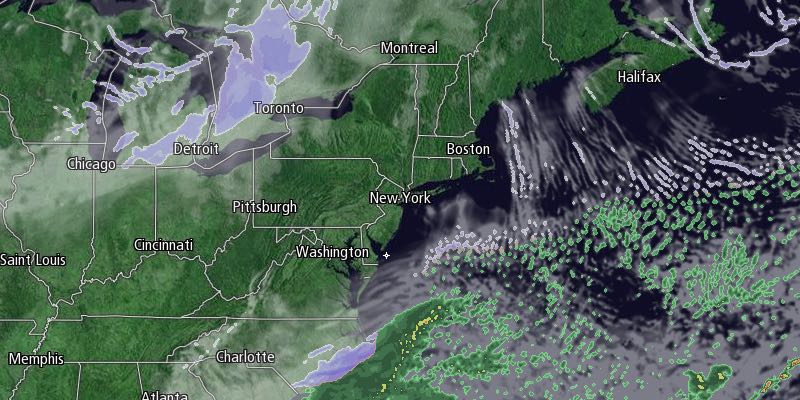
The temperature hovered in the teens to low 20s during the day on Monday, and it will get much colder Monday night. Skies will become mainly clear, and the temperature will fall to near zero by dawn. A gusty wind in the evening will get lighter after midnight. Wind chills will be below zero all night.

The temperature may fall below zero in Providence for the sixth time this month, tying the Providence record for a calendar year, last set in 1979. Low temperatures should range from -5 to 5°. After a clear and frigid start, it will stay chilly in the afternoon. Highs will only be in the mid teens with mostly sunny skies most of the day. Clouds will increase quickly late in the day, and a storm system moving quickly north may clip Southern New England with snow Tuesday night. The best chance of picking up 2-4 inches of snow is on Cape Cod and the islands. It looks like there will be an inch or two in Rhode Island and interior SE MA. Lows will be in the teens Tuesday night.

An approaching cold front will shift the wind to the southwest on Wednesday, and highs will be in the low to mid 30s under partly sunny skies. It will turn colder again late in the workweek. A storm will move out to sea south of Southern New England on Thursday. It will be partly to mostly cloudy and very cold for late February, with highs in the low to mid 20s.
Friday and Saturday both look dry and cold, with highs in the mid to upper 20s, and lows in the single digits to teens. Clouds will increase late Sunday, and rain and/or snow is possible Sunday night into Monday.


