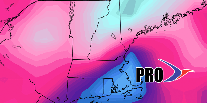
Long-Range Forecast – February 17

It looks like the cold weather pattern will persist into March in the Northeastern United States. However, Southern New England may be spared the brunt of the stormy weather in the next couple of weeks. After light snow Tuesday morning, there may be occasional flurries and snow showers into the end of the workweek. It should not be a big deal. An elongated storm system moves across the country late in the workweek, and it will arrive in Southern New England late Saturday into Sunday. The models are showing this as a relatively warm system cutting to our north, but we expect it to trend south and bring more snow than rain. It does not look very intense, but any snow at this point is too much for many Southern New Englanders.
Next week’s pattern looks cold and mainly dry early in the week. The European model wants to send a system our way in the midweek, but the GFS is not as robust. The end of next workweek looks dry and cold.
Just a little tidbit…every day since January 26 has been colder than normal in Providence. If the weekend storm stays south, there is a decent chance that the streak lasts through the end of February. It’s already the longest streak of colder or warm weather that I can remember, and I will be digging through the records trying to find a calendar month where every day was warmer or colder than normal.


