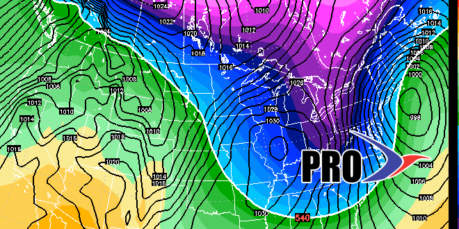
Long-Range Forecast – February 2

We are in the midst of a very snowy stretch, and the potential exists for even more in the next couple of weeks. The overall pattern begs for storms along the Eastern Seaboard through mid-February. There will be a wealth of cold air around, so more snow is most likely in the offing.
Exact timing and storm tracks are unclear, but there will be several shots for snow through Valentine’s Day. In the near-term, we’re focusing on Thursday and early next week for snow chances. After that, it looks like there could be something late next week as a storm sits off the SE US coast. And, just for good measure, something is possible near Valentine’s Day, too!
There will be bitter blasts after the storms, and single digits nighttime readings may become commonplace with such a deep snowpack.


